


WEST MICHIGAN — The forecast from FOX 17 Weather Ready Meteorologist Kara James: A clear and comfortable night is ahead, as dry and cooler air filter in to West Michigan behind the cold front that brought the severe storms Thursday night. Lows will drop to around 60, making it a windows open kind of night! More sunshine is on the way tomorrow, but there will be a chance for showers and storms in the evening, overnight, and into early Sunday as a second cold front passes through. The Storm Prediction Center has West Michigan placed in a Marginal Risk (level 1/5) meaning an isolated storm or two could be strong, but the overall severe weather threat is low. Temperatures cool even more Sunday onward with highs in the low to middle 70s through much of next week. Expect chances for showers next Tuesday, Wednesday and Thursday.
TONIGHT: Mostly clear. Lows in the upper 50s to 60. Wind SW at 5 mph.
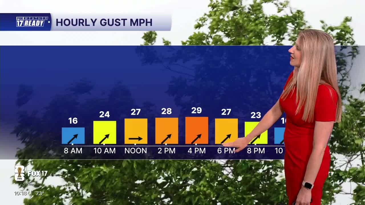
SATURDAY: Mostly sunny to partly cloudy. Highs in the low 80s. Chance showers & storms late/overnight, isolated strong storm possible.
SUNDAY: Chance of showers/storms early, then partly cloudy. Highs in the low 70s.
MONDAY: Mostly sunny. Highs in the low 70s.
TUESDAY: Partly cloudy with chance showers late in the day. Highs in the low 70s.
WEDNESDAY: Partly to mostly cloudy with chance showers. Highs in the low/mid 70s.
THURSDAY: Showers likely. Highs in the low 70s.
FRIDAY: Partly cloudy with highs in the mid 70s.
Want alerts when inconvenient or severe weather is headed your way? Download the FOX 17 Weather app and set up notifications for where you live.
For the latest details on the weather in West Michigan, head to the FOX 17 Weather page.
Follow FOX 17: Facebook - X (formerly Twitter) - Instagram - YouTube
