
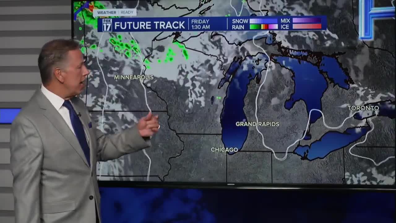


The forecast from FOX 17 Weather Ready Chief Meteorologist Kevin Craig: The pattern change is underway! After almost 2 weeks of below average temperatures, warmer weather has returned and is looking to stay in West Michigan for the next week or more. Morning temperatures will also not be as cold, and afternoon highs will be in the upper 70s to lower 80s. This comes as a big ridge of high pressure nudges out of the Four Corners region of the United States into the Midwest, flipping our pattern to dry, sunny, and warm. Rain chances are near zero this week, although a dying cold front today may spark a stray shower or sprinkle. The next chance for areawide rain is this weekend on Saturday as an upper low drops in from Canada. Make sure to stay up to date with the FOX 17 Weather Ready Team for your latest forecast updates.
TODAY: Partly cloudy to partly sunny and pleasant. Highs in the upper 70s. A stray shower/sprinkle possible. Winds south/southwest at 5 to 10 mph.
TONIGHT: Partly cloudy and comfortable. Lows in the lower 50s. Winds light/variable.
THURSDAY: Sunny skies and warm with highs in the lower 80s. Winds east/northeast at 5 to 10 mph.
FRIDAY: Mostly sunny and warm Highs in the lower 80s.
SATURDAY: Partly sunny with scattered showers, perhaps a thundershower. Highs around 80.
SUNDAY: Partly cloudy. Highs around 80.
MONDAY: Mostly sunny. Highs in the upper 70s.
TUESDAY: Mostly sunny to partly cloudy with highs in the lower 80s.
For the latest details on the weather in West Michigan, head to the FOX 17 Weather page.
Follow FOX 17: Facebook - X (formerly Twitter) - Instagram - YouTube
