
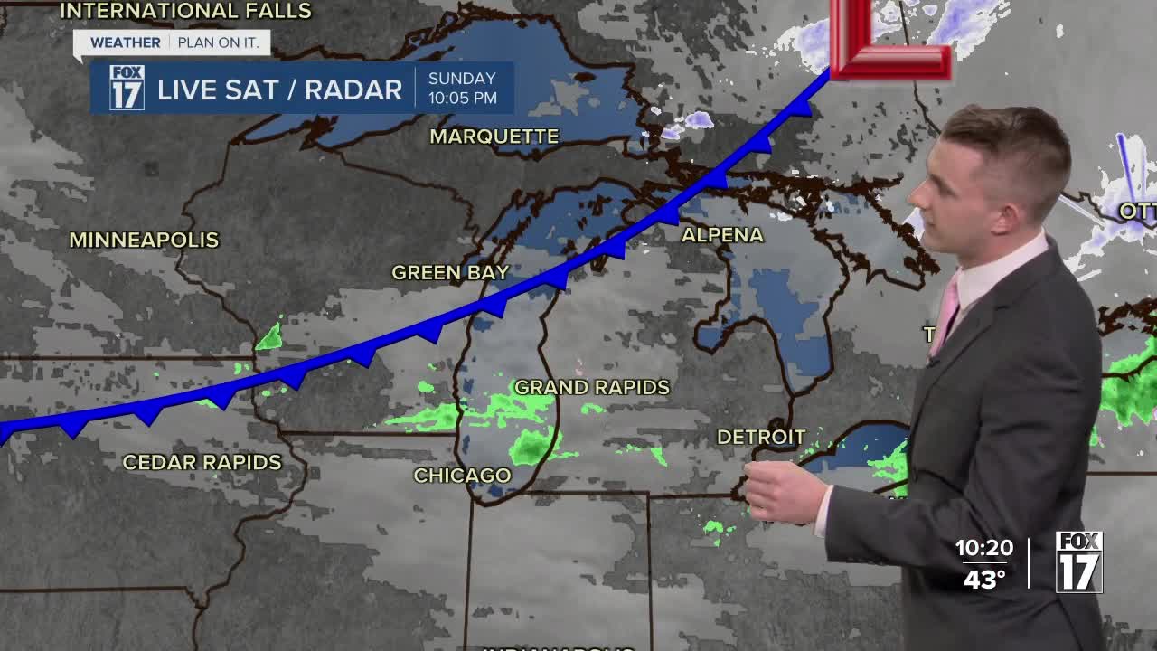


WEST MICHIGAN — The forecast from FOX 17 Meteorologist Reece Cole: If the forecast holds, 2024 will have brought us the warmest February on record. That's because the last 4 days of February will be very mild! Monday will feature plenty of sunshine with highs in the middle to upper 50s. We will be even warmer Tuesday, but it also brings more unsettled weather. Tuesday's system brings scattered showers and thunderstorms behind the warmest air of the week. There is a chance for strong to severe storms Tuesday afternoon and evening for much of West Michigan but especially our southwest communities. We are in a SLIGHT RISK from Allegan and Barry counties to the south, as well as a MARGINAL RISK for all communities to the north. With these stronger storms, damaging winds the primary concern along with hail, lightning and heavy downpours. Colder air wraps into West Michigan on Wednesday, transitioning rain back over to light snow briefly before dry air settles in for the end of the work week. Stay up to date with the FOX 17 Weather Team.
TONIGHT: Partly cloudy. Lows near 30 degrees.
MONDAY: Mostly sunny to partly cloudy. Unseasonably warm! Highs in the low/mid 50s.
TUESDAY: Partly sunny to mostly cloudy. Scattered showers and a few thunderstorms. Chance of severe storms Tuesday evening. Highs in the low/mid 60s.
WEDNESDAY: Mostly cloudy. Rain transitioning to snow with windy conditions. Dropping temps with highs starting in the 50s and settling in the upper 20s by mid afternoon.
THURSDAY: Partly cloudy and chilly. Highs in the mid to upper 30s.
For the latest details on the weather in West Michigan, head to the FOX 17 Weather page.
