

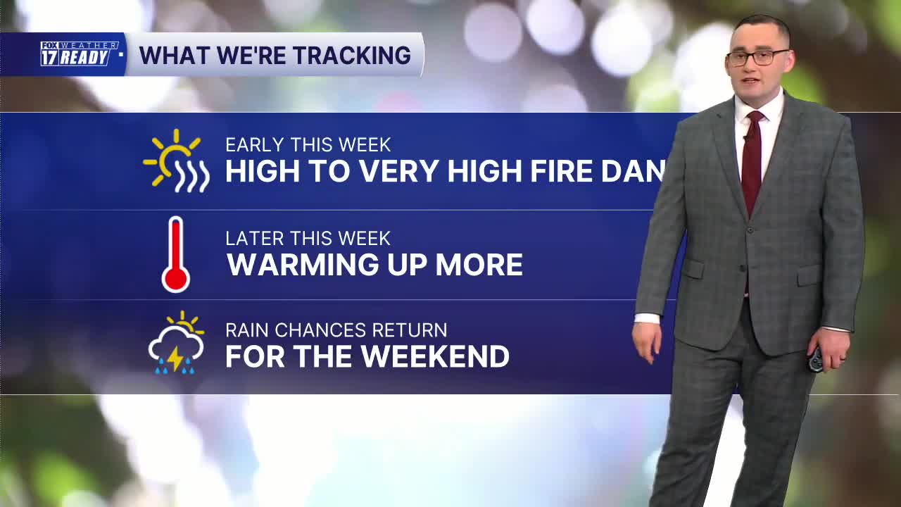


WEST MICHIGAN — The forecast from FOX 17 Weather Ready Meteorologist Colton Cichoracki: The blocking weather pattern will remain in place for most of the upcoming week. It does look like towards Friday and into the weekend things will begin to change with some rain returning to the forecast. Until then, dry and pleasant weather will continue. Sunday night is partly cloudy with lows in the 50s. On Monday, a mixture of clouds and sunshine is expected with highs in the upper 70s to around 80 degrees. Fire danger will remain elevated through the start of the week due to the low humidity and dry air in place. Temperatures will gradually warm each day, climbing back into the lower 80s by Wednesday and through the end of the week. As the Omega Block starts to break down towards the end of the week, humidity levels will also begin to increase. This transition will open the door for our next opportunity for rain, with scattered shower and thunderstorm chances returning Friday into Saturday. Considering how dry May has been overall and how long it's been since we've seen any rain, we can definitely use it.
TONIGHT: Partly cloudy. Lows in the upper 40s/lower 50s. Wind N/NE at 5-10 mph.
MONDAY: Mostly sunny to partly cloudy with highs in the upper 70s. High fire danger.
TUESDAY: Mostly sunny with highs in the upper 70s near 80. Very high fire danger.
WEDNESDAY: Mostly sunny with highs in the low 80s.
THURSDAY: Partly cloudy with highs in the low 80s.
FRIDAY: Partly to mostly cloudy with a chance of showers. Humid. Highs in the low/mid 80s.
SATURDAY: Mostly cloudy with a chance of showers and thunderstorms. Humid. Highs near 80.
SUNDAY: Mostly cloudy with a chance of showers and thunderstorms. Humid. Highs in the low 80s.
Want alerts when inconvenient or severe weather is headed your way? Download the FOX 17 Weather app and set up notifications for where you live.
For the latest details on the weather in West Michigan, head to the FOX 17 Weather page.
Follow FOX 17: Facebook - X (formerly Twitter) - Instagram - YouTube
