


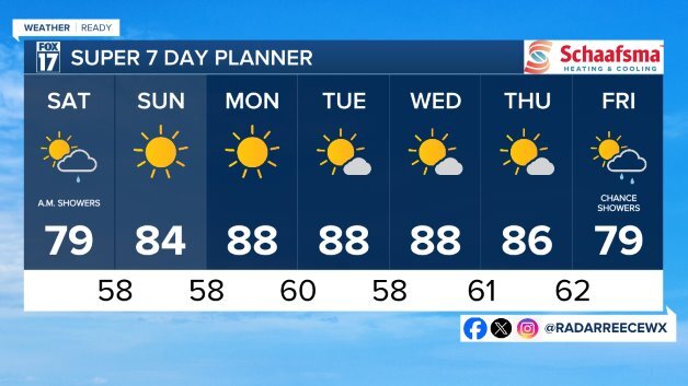
The forecast from FOX 17 Weather Ready Meteorologist Kevin Craig: The only chance for a few scattered showers is on Saturday, but moisture looks focused in far SW Michigan. We do have a MARGINAL RISK for severe weather from Holland to Kalamazoo to the southwest. Watch for isolated storms, but most will be over the lake.
A big ridge of high pressure will create a HEAT DOME, providing gradually warming temps into the mid/upper 80s by next week. Along with the late season heat, dry, quiet, mostly sunny conditions are expected to prevail. Watch for our drought conditions to worsen this next week.Make sure to stay up to date with the FOX 17 Weather Ready Team for your latest forecast updates.
TONIGHT: Clear to partly cloudy. Lows in the upper 50s. Winds southeast light.
SATURDAY: Partly sunny to mostly cloudy at times with a few scattered showers possible. Chance of a thundershower, but many locations will likely be missed. Highs around 80. Winds southeast/southwest at 5 to 10 mph.
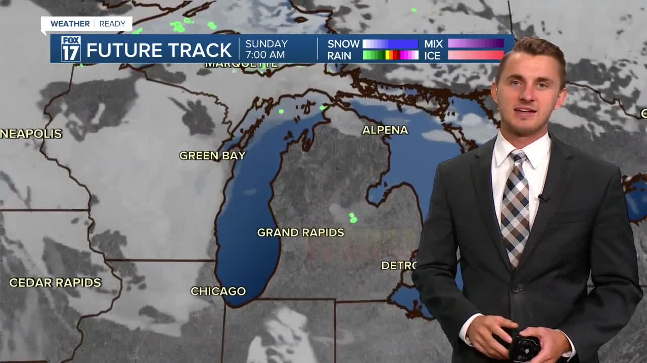
SUNDAY: Mostly sunny and warm. Highs in the middle to upper 80s.
MONDAY: Mostly sunny and hot. Highs in the upper 80s near 90.
TUESDAY: Mostly sunny and hot. Highs in the upper 80s to near 90.
WEDNESDAY: Mostly sunny and hot. Highs in the upper 80s to near 90.
THURSDAY: Mostly sunny but an isolated shower is possible. Highs in the middle 80s.
For the latest details on the weather in West Michigan, head to the FOX 17 Weather page.
Follow FOX 17: Facebook - X (formerly Twitter) - Instagram - YouTube
