
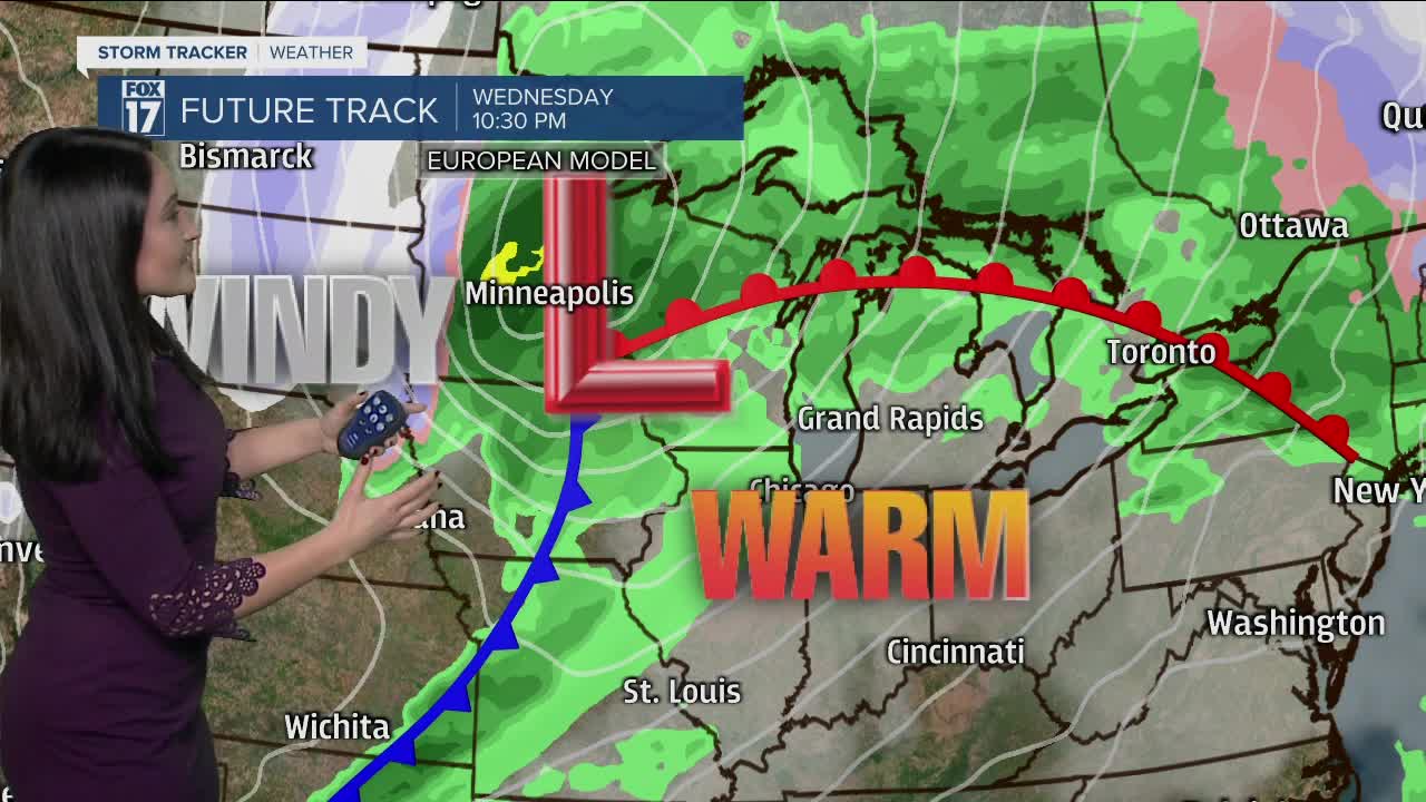


WEST MICHIGAN — The forecast from FOX 17 Meteorologist Haleigh Vaughn: Mostly clear to partly cloudy skies are the story for tonight, with winds beginning to calm down. Cloud cover settles back in for Tuesday, with moments of sunshine. High temperatures reach the upper 40s. Near record high temperatures are possible this week on Wednesday and Thursday, as another strong storm system moves into the region. High temperatures will reach the upper 50s to lower 60s both days. This system will also bring significant wind and increased rain chances Wednesday, Wednesday night, and Thursday morning. Our warmest temperatures on Thursday will occur in the morning before falling through the day. Cooler temperatures in the 30s will follow.
TONIGHT: Mostly clear this evening, becoming partly cloudy overnight. Lows around 30. Winds light/variable.
TOMORROW: Partly sunny to mostly cloudy. Highs in the mid/upper 40s. Winds east-southeast at 6 to 12 mph.
WEDNESDAY: Mostly cloudy with a few light rain showers or drizzle possible. Near record warmth in the upper 50s to near 60. Breezy too!
THURSDAY: Mostly cloudy with scattered rain shower chances as a strong cold front slides through the state. Windy too! Highs in the lower 60s early, then falling through the day.
FRIDAY: Mostly cloudy and colder. Highs in the upper 30s
For the latest details on the weather in West Michigan, head to the FOX 17 Weather page.
