

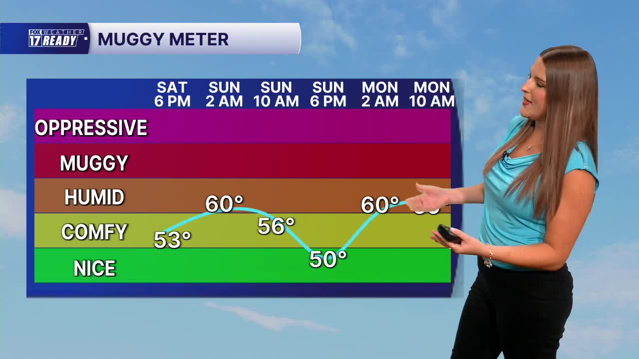


WEST MICHIGAN — The forecast from FOX 17 Weather Ready Meteorologist Gracyn Freund: A building ridge of high pressure in the upper atmosphere will nudge in towards us this weekend, bringing an extended stretch of hot and dry weather through next week. Highs will warm into the upper 80s to near 90 today and Sunday. Humidity will be on the lower side without much wind both days, so this will be a great weekend to get outdoors or head to the lakeshore! Next week temperatures warm into the low 90s as humidity rises a bit again. Dew points (a measure of moisture in the air) will not be as high as they were with our last heat wave, but "feels like" temperatures will still likely be in the mid to upper 90s Monday through late next week. Heat Advisories will likely be issued, so be on the look out for those. Rain chances will be hard to come by until the end of the week Thursday into Friday. Prepare for another toasty and dry stretch!
TODAY: Mostly sunny, warm, and less humid. Highs in the upper 80s. Wind ENE at 5-15 mph.
TONIGHT: Mostly clear and quiet. Lows in the lower 60s. Wind ENE at 5-10 mph.
SUNDAY: Sunny with highs in the upper 80s near 90 and low humidity. Wind ENE at 5-10 mph.
MONDAY: Sunny and hot with highs in the lower 90s. Heat index 95-100.
TUESDAY: Sunny and hot with highs in the lower 90s. Heat index 95-100.
WEDNESDAY: Mostly sunny and hot with highs in the low 90s. Heat index 95-100.
THURSDAY: Partly cloudy with chance isolated showers or storms. Hot with highs in the low 90s. Heat index 95-100.
FRIDAY: Partly cloudy with chance isolated showers. Highs in the upper 80s.
Want alerts when inconvenient or severe weather is headed your way? Download the FOX 17 Weather app and set up notifications for where you live.
For the latest details on the weather in West Michigan, head to the FOX 17 Weather page.
Follow FOX 17: Facebook - X (formerly Twitter) - Instagram - YouTube
