
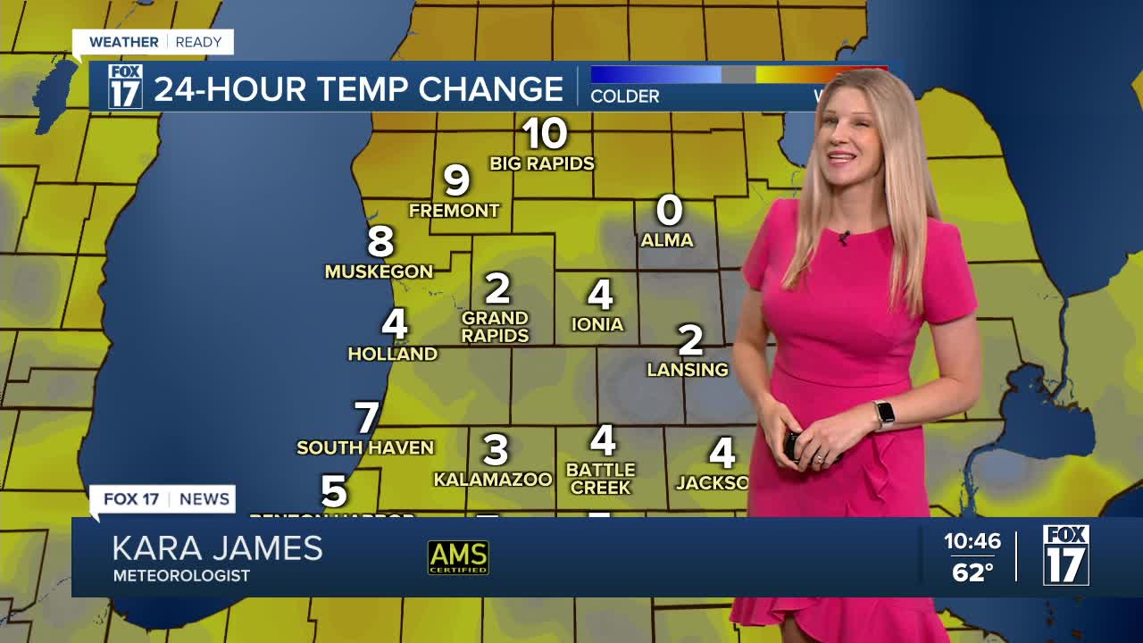


The forecast from FOX 17 Weather Ready Meteorologist Kara James: Unseasonably cool air continues flowing into the Great Lakes. Average highs this time of year are near 80 degrees. A cold front dropping in from Canada overnight into Thursday will bring us our only chance of rain through the holiday weekend. Pre-frontal warming will keep lows in the upper 50s overnight, and widespread rain totals with the front don't look to exceed a quarter inch of rain. We're dry by the early afternoon tomorrow, so no trouble for high school football games Thursday evening! Temperatures slowly moderate Friday into the holiday weekend, with highs back in the mid to upper 70s and dry conditions. Stay tuned to the FOX 17 Weather Ready Team for your latest forecast updates.
TONIGHT: Becoming mostly cloudy overnight with a scattered showers and storms after 3 A.M.. Lows in the upper 50s. Winds southwest at 5 to 10 mph.
THURSDAY: Mostly cloudy, breezy, and cool with a few showers and thundershowers. Dry by 3 P.M.. Highs around 70. Winds west/northwest at 5 to 15 mph.
FRIDAY: Mostly sunny to partly cloudy and cool. Highs in the upper 60s to near 70.
SATURDAY: Sunny and pleasant. Highs in the lower 70s.
SUNDAY: Sunny and warmer. Highs in the mid/upper 70s.
MONDAY: (LABOR DAY). Partly cloudy, Highs around 80.
TUESDAY: Mostly Sunny. Highs in the low 80s.
For the latest details on the weather in West Michigan, head to the FOX 17 Weather page.
Follow FOX 17: Facebook - X (formerly Twitter) - Instagram - YouTube
