
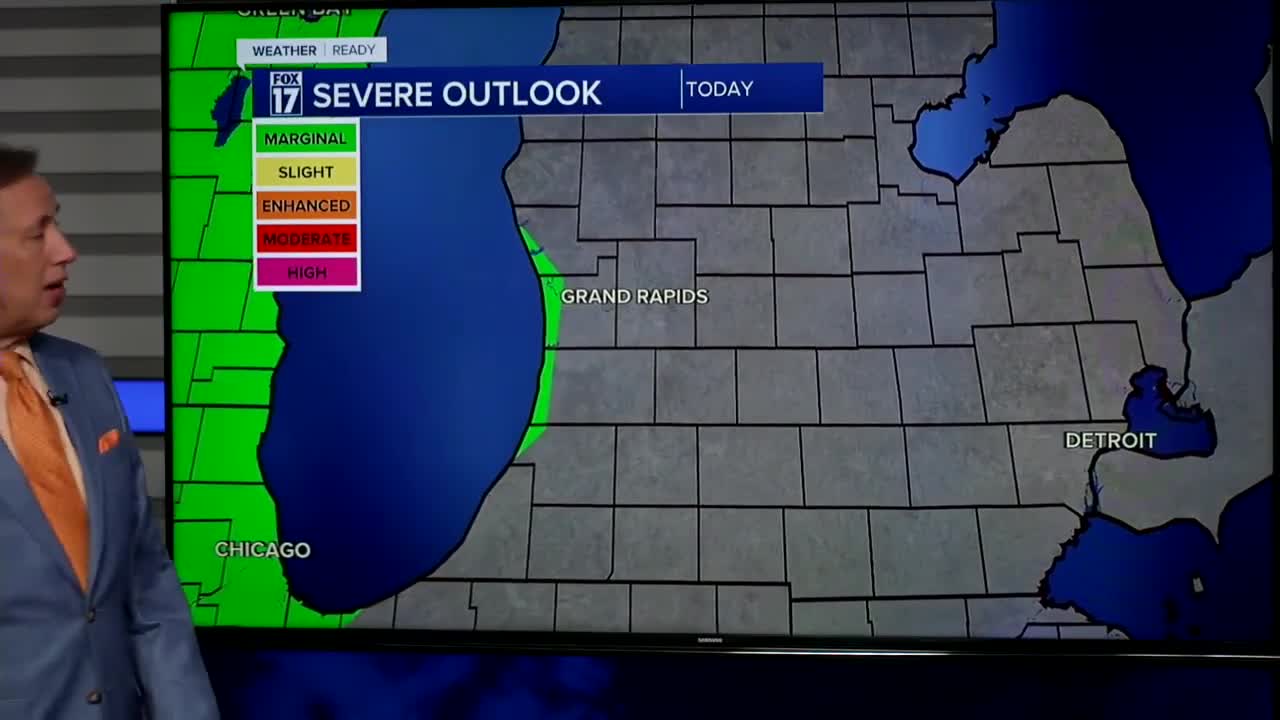


The forecast from FOX 17 Weather Ready Chief Meteorologist Kevin Craig: Look for mostly sunny to partly cloudy skies today with the chance for an isolated afternoon shower/storm. Another heat wave appears to be in sight to finish the week into the weekend with feels like temperatures in the upper 90s. At the same time, rain chances remain low. Pop up showers or thunderstorms are possible, but most spots will end up dry each day. The best chance for a few thunderstorms comes Friday morning, but there will still likely be some spots staying dry. Several counties across West Michigan are facing drought conditions, which will be worsening in the days ahead. We may be able to start seeing the Perseid Meteors in the coming days, which peak August 12/13. This is an annual event and stems from debris from the tail of the comet Swift Tuttle. Stay tuned to the FOX 17 Weather Ready Team for your latest forecast updates.
TODAY: Mostly sunny to partly cloudy and warmer. An isolated shower/storm possible this afternoon. Highs in the upper 80s. Winds south-southwest at 5 to 10 mph.
TONIGHT: Partly cloudy and mild. Chance of a shower/storm. Lows in the upper 60s. Winds south at 5 to 10 mph.
FRIDAY: Partly sunny, warm, and a bit more humid. Chance of morning showers/storms. Highs in the upper 80s. Winds south at 10 to 15 mph.
SATURDAY: Mostly sunny and hot. Highs in the lower 90s.
SUNDAY: Mostly sunny and hot. Highs around 90.
MONDAY: Partly cloudy and warm. Chance of a shower/storm. Highs in the mid/upper 80s.
TUESDAY: Partly cloudy to partly sunny and cooler. Chance of a shower/storm. Highs in the mid 80s.
For the latest details on the weather in West Michigan, head to the FOX 17 Weather page.
Follow FOX 17: Facebook - X (formerly Twitter) - Instagram - YouTube
