

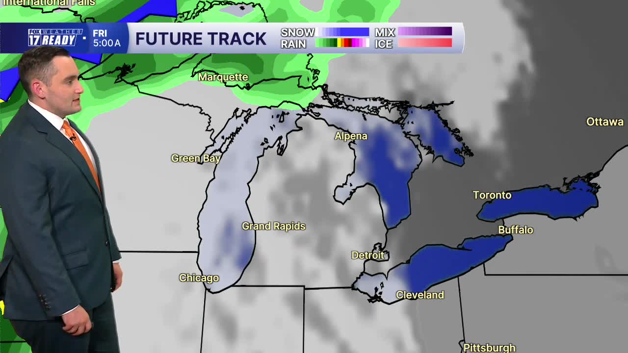


The forecast from FOX 17 Weather Ready Meteorologist Colton Cichoracki: Cool and dry air behind our earlier cold front is sliding in, and temperatures tonight will fall into the 50s. Sunshine continues Wednesday with low humidity and highs in the mid 80s, but it will be breezy at times. Wave heights on Lake Michigan will be around 1-3 feet. Thursday will be a warmer day with highs in the upper 80s and a slight increase in humidity. Rain and thunderstorm chances increase Friday ahead of our next system, with lingering showers and storms possible Saturday. Sunday through early next week to start the month of August we return to dry days with highs in the mid to upper 80s.
TONIGHT: Mostly clear and comfortable. Lows in the upper 50s to near 60. Winds north at 5 mph.
WEDNESDAY: Sunny and pleasant. Highs in the mid 80s. Winds north at 10 to 15 mph.
THURSDAY: Mostly sunny and warm. Highs in the upper 80s.
FRIDAY: Morning sunshine, but increasing P.M. clouds. Chance for nighttime showers and thunderstorms. Highs in the mid 80s.
SATURDAY: Mostly cloudy. Chance of showers and storms. Highs in the low/mid 80s.
SUNDAY: Mostly sunny to partly cloudy. Highs in the mid 80s.
MONDAY: Mostly sunny. Highs in the mid 80s.
TUESDAY: Mostly sunny. Highs in the upper 80s.
Want alerts when inconvenient or severe weather is headed your way? Download the FOX 17 Weather app and set up notifications for where you live.
For the latest details on the weather in West Michigan, head to the FOX 17 Weather page.
Follow FOX 17: Facebook - X (formerly Twitter) - Instagram - YouTube
