
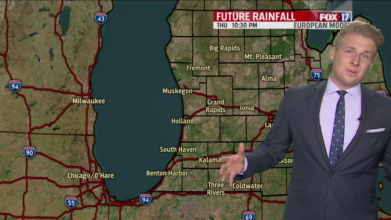


WEST MICHIGAN — WEST MICHIGAN — The forecast from FOX 17 Meteorologist Erik Kostrzewa: A weak upper level disturbance and cold front will slide across the state tomorrow with an isolated shower or thunderstorm possible. The best chance of seeing any rain will be north of Grand Rapids. Most hours will be dry. We expect mostly sunny, cooler, and less humid conditions this weekend with highs in the 70s. A Tropical Storm in the Gulf of Mexico may actually deliver some very heavy rain to Michigan by the middle of next week focused on Wednesday. Make sure to stay up on later forecasts as the track and trajectory of this system may change.
TONIGHT: Mostly clear with lows in the upper 50s to around 60°. Southwest to west wind around 5 mph becoming calm.
TOMORROW: Partly cloudy to partly sunny. A slight chance for a shower or thunderstorm, mainly PM. Highs in the lower/middle 80s. Southwest to west winds at 5 to 15 mph.
TOMORROW NIGHT: Becoming mostly clear. Lows in the mid to upper 50s. Northwest winds at 5 to 10 mph.
SATURDAY: Mostly sunny, cooler, and less humid. Highs in the mid 70s. Northwest winds at 8 to 16 mph.
SUNDAY: Mostly sunny. Highs in the mid 70s.
