
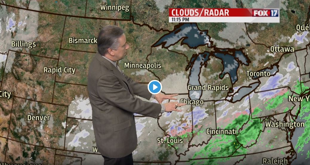


GRAND RAPIDS — The forecast from FOX 17 Chief Meteorologist Kevin Craig: Quiet and colder weather will remain with us overnight and into Wednesday ahead of our next big weather system. An area of low pressure will move across eastern Ohio sometime on Thursday morning with the potential for several inches of snow. The latest information we have on this system is that it could pass far enough to the south and east of us that we only get a glancing blow. It looks like most areas will escape with lighter totals now, with most of us seeing about 1" to 3". Some higher amounts of 3" to 4" south/east of Grand Rapids is possible.
TONIGHT: Variably cloudy to mostly cloudy. Colder with lows in the lower 20s. North winds at 5 to 10 mph becoming northeast late.
TOMORROW: Morning sunshine, otherwise becoming mostly cloudy. Highs around 30. East/northeast winds at 5 to 10 mph.
TOMORROW NIGHT: Cloudy with snow showers developing. Lows in the mid 20s. Northeast winds at 5 to 10 mph increasing to 10 to 15 mph late.
THURSDAY: Snow showers likely, especially from around Grand Rapids to the south and east. Most areas will receive 1 to 3 inches of snow. Highs in the lower 30s. North winds at 5 to 15 mph.
FRIDAY: Chance of light snow showers with mostly cloudy skies. Highs around 30.
