
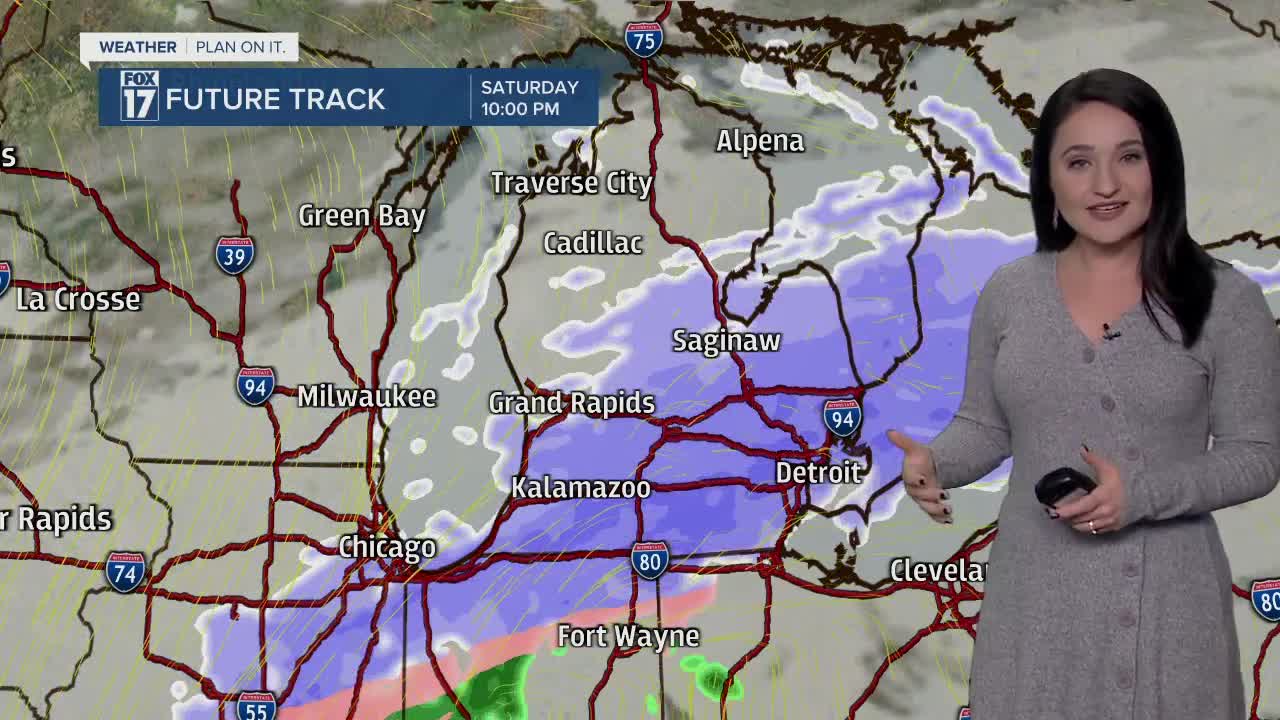


WEST MICHIGAN — The forecast from FOX 17 Meteorologist Haleigh Vaughn: Lake effect showers continue to fall over the region tonight with the heaviest accumulation likely near Allegan and Van Buren counties. WINTER WEATHER ADVISORIES have been posted for counties south of I-96. Click HERE for the latest alerts for West Michigan. There will be two more waves of snow tracking through the region between now and the weekend. The first wave arrives Friday afternoon, providing another 1" to 2" of accumulation. Isolated higher amounts up to 3" are possible due to lake enhancement, especially north and west of Grand Rapids. The secondary wave sweeps in on Saturday afternoon lasting into Sunday, with an additional 3" to 6" possible by Sunday evening. This comes down to about 1" to 3" per day over the weekend. Isolated higher amounts are likely. All-in-all, keep your snow gear handy this week! Bitter cold air is on tap this weekend, dropping high temperatures into the 20s. The cold snap is likely to hang around into the beginning of February. Stay tuned for updates and download the free FOX 17 Weather App for the latest forecast video.
TONIGHT: Cloudy and breezy with lingering lake effect snow. Accumulation likely in Allegan, Van Buren, and Kalamazoo counties. Lows in the upper teens to near 20 degrees. Winds west/southwest at 5 to 10 mph.
FRIDAY: Cloudy and becoming windy with widespread snow developing by afternoon. Another 1" to 2" likely in most spots, with isolated higher amounts from lake enhancement north and west of Grand Rapids. Highs in the lower 30s. Winds southwest at 15 to 25 mph with gusts to 40 mph.
SATURDAY: Cloudy with another wave of snow arriving in the afternoon. Another 1" to 3" possible. Highs in the upper 20s.
SUNDAY: Cloudy with scattered snow showers. Another 1" to 3" possible. Highs in the middle 20s.
MONDAY: Mostly cloudy with lingering flurries possible. Highs in the lower 20s.
TUESDAY: Mostly cloudy, few flurries possible. Highs in the upper teens to near 20 degrees.
For the latest details on the weather in West Michigan, head to the FOX 17 Weather page.
