

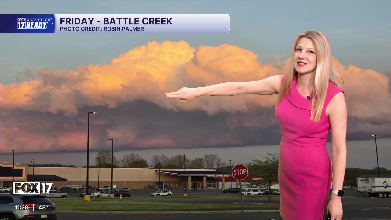



WEST MICHIGAN — The forecast from FOX 17 Weather Ready Meteorologist Kara James: Tonight will be partly cloudy with an isolated shower, but most stay dry. Saturday will be the warmest day in the near future with highs in the mid to upper 60s and a breezy west wind. A few scattered showers are possible throughout the day as a cold front moves through West Michigan, but rain amounts will be very light. It will be cooler into Mother's Day with highs around 60, but dry and breezy. The first half of the upcoming week is trending cooler with highs in the upper 50s/lower 60s, and chilly nights in the 30s and 40s. A few areas of frost could be possible on Sunday and Monday nights. However, warmer weather is on the way in the longer term forecast with 70s likely by the end of next week!
TONIGHT: Partly cloudy, an isolated shower possible. Lows in the middle 40s. Winds S 5 mph.
SATURDAY: Mostly cloudy, chance of morning and afternoon showers. A thunderstorm possible. Then turning partly cloudy. Highs in the mid 60s. Winds W at 10-20 mph.
SUNDAY: HAPPY MOTHER'S DAY! Mostly sunny to partly cloudy and breezy. Highs near 60.
MONDAY: Mostly sunny to partly cloudy. Highs in the upper 50s.
TUESDAY: Mostly cloudy with chance afternoon showers. Highs in the upper 50s.
WEDNESDAY: Chance A.M. showers, then mostly cloudy. Highs around 60.
THURSDAY: Partly cloudy. Highs in the mid 60s.
FRIDAY: Mostly cloudy with highs around 70.
Follow FOX 17: Facebook - X (formerly Twitter) - Instagram - YouTube
