


WEST MICHIGAN — The forecast from FOX 17 Weather Ready Meteorologist Colton Cichoracki: Three FOX 17 Weather Ready Alert Days in a row are coming as our early taste of summer will lead to chances of seeing severe weather. After missing out on some storms Sunday, the rest of the night will be dry with partly cloudy skies and lows in the upper 60s. Additional rounds of showers and potentially severe thunderstorms are possible both Monday and Tuesday afternoon/evening, with West Michigan under a Slight Risk both days. Warm and humid air will provide fuel for storm development, with highs in the low/mid 80s and dew points in the 60s. Then quieter and cooler weather will settle in for the second half of the week. Temperatures will be back down into the 60s Wednesday-Friday.
TONIGHT: Partly cloudy and warm. Lows in the middle 60s. Winds S at 5-15 mph.
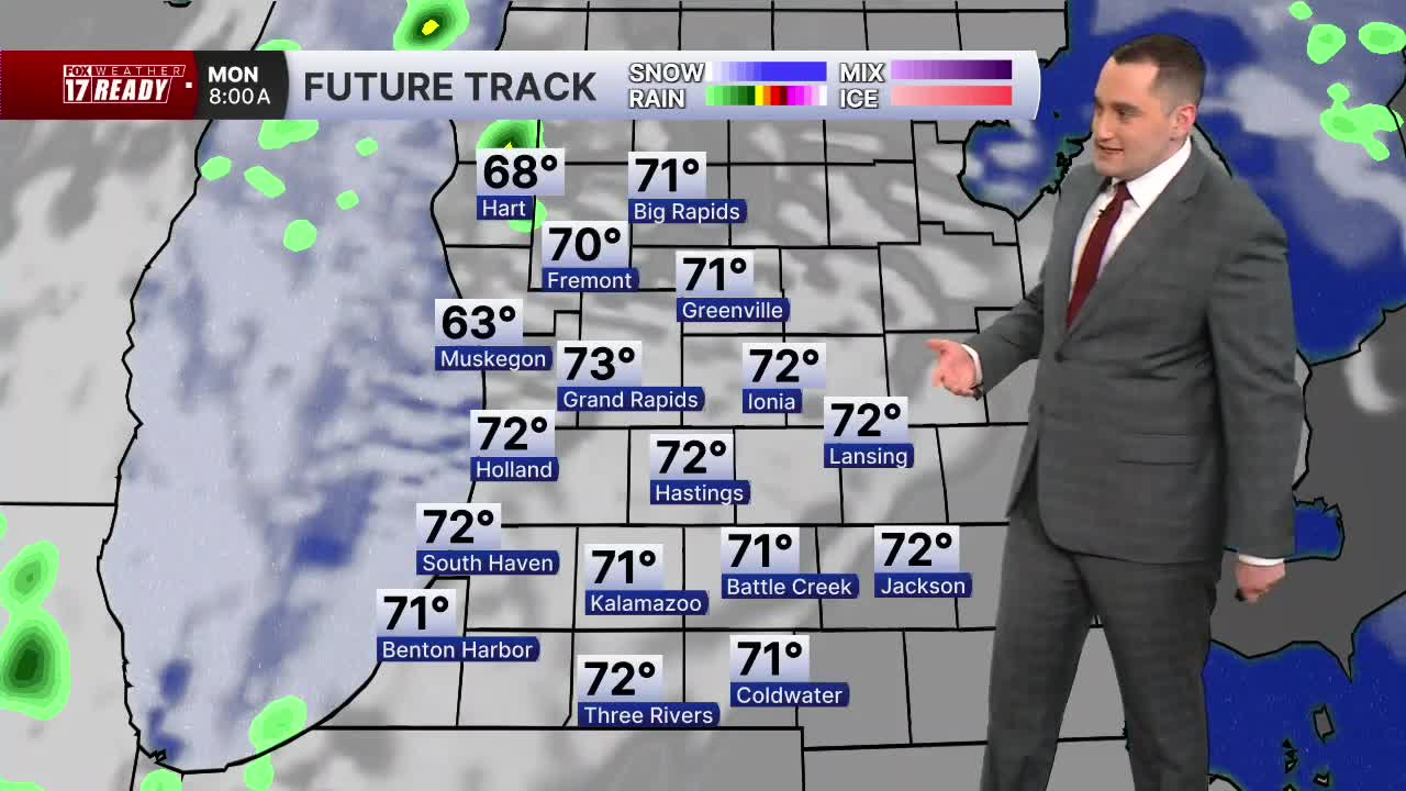
MONDAY: Weather Ready Alert: Partly cloudy, hot, and humid. Few rounds of showers and thunderstorms likely, some may be severe in the afternoon and evening. Highs in the low to mid 80s. Winds S/SW 10-20 mph.
TUESDAY: Weather Ready Alert: Mostly cloudy with scattered showers and thunderstorms likely. Some strong to severe storms possible. Windy with winds from the southwest at 15-25 mph. Highs in the lower 80s.
WEDNESDAY: Morning clouds, afternoon sunshine, and a temperature drop. Highs in low/mid 60s.
THURSDAY: Partly cloudy to mostly sunny. Highs in the low/mid 60s.
FRIDAY: Partly to mostly cloudy, chance of showers overnight. Highs in the mid/upper 60s.
SATURDAY: Mostly cloudy, chance of showers. Highs in the lower 70s.
SUNDAY: Partly cloudy. Highs in the middle 70s.
Follow FOX 17: Facebook - X (formerly Twitter) - Instagram - YouTube
