


WEST MICHIGAN — The forecast from FOX 17 Weather Ready Meteorologist Reece Cole: Hot and humid weather continues to grip West Michigan, with plenty of sunshine and highs in the 90s and heat index values between 98 and 105 degrees! We remain under a HEAT ADVISORY through Monday evening. There is also a CLEAR AIR ACTION DAY Monday for high surface ozone levels and poor air quality. Make sure to stay cool and hydrated! The overall pattern hints at much warmer than "average" through the last week of June. Shower and storm chances return Tuesday afternoon and as another front stalls, precipiation remains possible through the first half of next weekend. Stay tuned to the FOX 17 Weather Ready Team for your latest forecast updates.
TONIGHT: Clear and very warm. Lows in the upper 70s. Winds: SW 5-15 mph
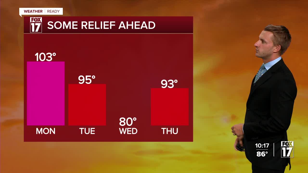
MONDAY: Mostly sunny, hot, and humid. Highs in the mid 90s. Heat index values 98 to 105. Winds: SW 10-20 mph
TUESDAY: Mostly sunny to partly cloudy, hazy, hot, and humid. Chance of an afternoon shower/storm. Highs around 90.
WEDNESDAY: Partly cloudy to partly sunny. Scattered showers and thunderstorms. Highs in the mid/upper 80s.
THURSDAY: Partly Cloudy. Chance Shower/Storm. Remaining very warm. Highs in the mid-80s.
FRIDAY: Partly Cloudy. Chance Shower/Storm. Remaining unseasonably warm. Highs in the mid-80s.
SATURDAY: Partly Cloudy. Chance Shower/Storm. Warm. Highs in the mid-80s.
For the latest details on the weather in West Michigan, head to the FOX 17 Weather page.
Follow FOX 17: Facebook - X (formerly Twitter) - Instagram - YouTube
