


WEST MICHIGAN — The forecast from FOX 17 Weather Ready Meteorologist Terri DeBoer: Dry conditions will prevail this evening, with scattered rain showers on the horizon after midnight through early Monday morning. Any lingering rain will clear out by mid-morning Monday, with sunshine and a strong southwesterly wind returning. Monday afternoon will become quite blustery. A few showers are possible again Wednesday and Friday as a few weak systems zip through the area. Rain totals will be light, only around a quarter inch. Temperatures remain close to "average" through next week, with high temperatures in the low to mid-50s and mornings in the mid/upper 30s. Even though there's no snow in the forecast anytime soon, the Odd-Even Parking Rules are now in effect in Grand Rapids. Stay with the FOX 17 Weather Ready Team for your latest forecast updates.
TONIGHT: Showers developing after midnight. Breezy and not as cold. Lows in the low 40s. Winds: SW 5-15 mph
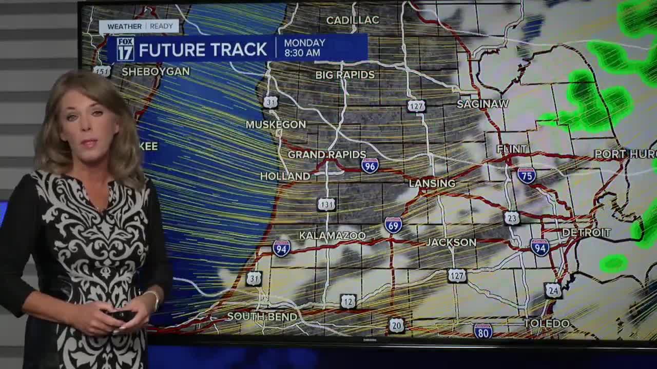
MONDAY: Morning showers will end by mid-late morning. Sunshine returns in the afternoon. Blustery. Highs in the lower 50s. Winds: SW 15-30 mph (& gusty)
TUESDAY: Mostly sunny to partly cloudy. Pleasant. Highs in the mid 50s.
WEDNESDAY: Partly sunny with isolated showers. Another windy day. Highs in the mid 50s.
THURSDAY: Partly cloudy. Highs in the low to mid 50s.
FRIDAY: Mostly cloudy with showers likely. Highs in the low to mid 50s.
SATURDAY: Partly cloudy and cool. Chance isolated showers. Highs in the low 50s.
SUNDAY: Chance few showers. Turning Colder. Highs: mid-40s.
MONDAY: Breezy and much colder. Scattered showers. Highs in the low 40s
For the latest details on the weather in West Michigan, head to the FOX 17 Weather page.
Follow FOX 17: Facebook - X (formerly Twitter) - Instagram - YouTube
