

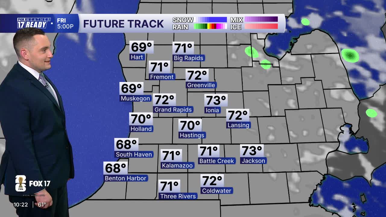


WEST MICHIGAN — The forecast from FOX 17 Weather Ready Meteorologist Colton Cichoracki: As high pressure returns, clouds will clear overnight and temperatures will fall into the mid 50s, which is near average for this time of year. Tomorrow and Saturday will still be cooler but mostly sunny and breezy, with highs in the low to mid 70s. There is the chance for a few showers Friday night into early Saturday morning, but otherwise the next few days will be dry. Sunday marks the official start of summer at 4:24 A.M.. It's the summer solstice: the precise time the sun is as far north of the equator as it will ever get (23.5 degrees) and marks the longest day of the year. However, it won't be feeling like summer, with highs in the low 70s. Sunday is also Father's Day and will be mainly dry for most of the day, but rain showers will move in during the late afternoon especially south near I-94. Next week looks cool as well, with continued highs in the 70s and occasional chances for rain.
TONIGHT: Mostly clear with a few clouds. Lows in the mid 50s. Wind W at 5-10 mph.
TOMORROW: Mostly sunny. Highs in the lower 70s. Breezy, Wind WNW at 10-20 mph. Chance showers overnight.
SATURDAY: Mostly sunny with chance spotty showers early. Highs in the mid 70s.
SUNDAY: Partly cloudy with a chance of P.M. and night showers/storms. Highs in the low 70s.
MONDAY: Chance showers and storms early, then partly cloudy. Highs in the mid 70s.
TUESDAY: Partly cloudy with chance showers. Highs in the mid 70s.
WEDNESDAY: Partly cloudy with chance showers. Highs in the mid 70s.
THURSDAY: Partly cloudy. Highs in the low 70s.
Want alerts when inconvenient or severe weather is headed your way? Download the FOX 17 Weather app and set up notifications for where you live.
For the latest details on the weather in West Michigan, head to the FOX 17 Weather page.
Follow FOX 17: Facebook - X (formerly Twitter) - Instagram - YouTube
