
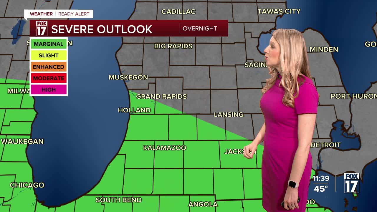


The forecast from FOX 17 Weather Ready Meteorologist Kara James: Another system is moving up from the south overnight into tomorrow morning with heavy rain and an isolated strong storm threat. A WEATHER READY ALERT has been issued for the chance of a few storms with quarter size hail and gusty winds, along with heavy enough rain to create flooding in prone areas. Rain and storms will move into West Michigan after midnight and continue through Saturday mid-morning. Rain and storms will gradually end Saturday afternoon but totals could be 1-2". Temperatures will be in the lower 60s Saturday. For Easter Sunday, we will be mostly dry outside of a flurry or sprinkle. Highs will be in the lower 40s, and it will be breezy. Next week, a weak system could bring a few rain/snow showers Monday but a warm-up is coming by the end of the week.
TONIGHT: WEATHER READY ALERT: Rain and storms move in. Some storms could be strong with hail and wind. Lows in the middle 40s.
SATURDAY: Cloudy with rain and thunderstorms likely. Some may be strong to severe early in the morning. Highs in the low/mid 60s.
EASTER SUNDAY: Mostly cloudy and cooler. A flurry or sprinkle possible. Highs in the middle 40s.
MONDAY: A few rain/snow showers possible. Highs in the upper 40s.
TUESDAY: Partly cloudy to partly sunny and cool. Highs in the low 40s.
WEDNESDAY: Mostly cloudy. Highs in the mid 50s.
THURSDAY: Chance rain showers. Highs in the upper 50s.
Want alerts when inconvenient or severe weather is headed your way? Download the FOX 17 Weather app and set up notifications for where you live.
For the latest details on the weather in West Michigan, head to the FOX 17 Weather page.
Follow FOX 17: Facebook - X (formerly Twitter) - Instagram - YouTube
