

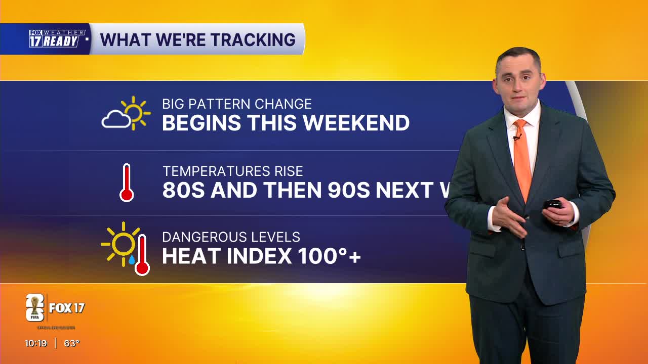


WEST MICHIGAN — The forecast from FOX 17 Weather Ready Meteorologist Colton Cichoracki: After seeing some rain on Wednesday, a few showers or storms are possible overnight but no widespread rain is expected. Lows will be in the upper 50s to near 60 degrees. Highs on Thursday are in the 70s. Friday is dry with temperatures in the upper 70s. A big warm-up is ahead as a ridge of high pressure builds this weekend, with an extended stretch of dry but increasingly warm and humid weather through next week. Summer heat arrives in West Michigan Saturday with highs in the 80s, and even hotter weather early next week—highs in the low 90s area wide are expected Monday through Wednesday, and likely through the rest of next week. With increasing humidity the heat index will rise to near 100 as well.
TONIGHT: Scattered showers and thunderstorms early. Lows in the upper 50s. Wind: S 5 - 10.
THURSDAY: Partly cloudy. Isolated showers east of U.S. 131, but most stay dry. Highs in the mid 70s.
FRIDAY: Partly cloudy. Highs in the upper 70s.
SATURDAY: Partly cloudy and warmer. Highs in the low 80s.
SUNDAY: Partly cloudy and even warmer. Highs in the mid 80s.
MONDAY: Partly cloudy to mostly sunny, warm and humid. Highs around 90.
TUESDAY: Partly cloudy, hot and humid with highs in the low 90s and heat index around 95.
WEDNESDAY: Partly cloudy, hot and humid with highs in the lower 90s. Heat index near 100 degrees at times.
Want alerts when inconvenient or severe weather is headed your way? Download the FOX 17 Weather app and set up notifications for where you live.
For the latest details on the weather in West Michigan, head to the FOX 17 Weather page.
Follow FOX 17: Facebook - X (formerly Twitter) - Instagram - YouTube
