
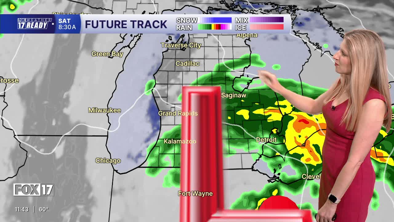


WEST MICHIGAN — The forecast from FOX 17 Weather Ready Meteorologist Kara James: Rain moves in from the south overnight, with showers continuing into Saturday morning. There may be a few lingering showers Saturday afternoon, but many will be dry after noon. The rest of the day will be cloudy and cool with highs in the mid 60s. An isolated shower or two will be possible on Sunday as high temperatures climb into the 70s. Luckily, neither day is looking like a wash out and there will be plenty of dry time both days. Temperatures warm even more on Memorial Day, into the 80s! Due to the east wind Saturday and lighter winds overall Sunday, wave heights on Lake Michigan will be low. Saturday will be the choppiest day with waves 1-2 feet, but Sunday and Monday waves will be less than 1 foot. Warmer days in the 70s and 80s continue into the middle of next week.
TONIGHT: Rain showers after midnight. Lows in the low to mid 50s. Winds E at 10-20 mph.
SATURDAY: Scattered morning showers, otherwise mostly cloudy. Highs in the mid 60s. Winds E at 10-20 mph.
SUNDAY: Mostly to partly cloudy. Chance of a few showers. Highs in the mid 70s.
MEMORIAL DAY: Partly cloudy to mostly sunny and warm. Highs in the low to mid 80s. Great outdoor weather!
TUESDAY: Partly cloudy to mostly sunny and warmer. Highs in the lower 80s.
WEDNESDAY: Partly cloudy. Highs in the low 80s.
THURSDAY: Mostly sunny. Highs in the upper 70s.
FRIDAY: Partly cloudy with highs in the low 70s.
Want alerts when inconvenient or severe weather is headed your way? Download the FOX 17 Weather app and set up notifications for where you live.
For the latest details on the weather in West Michigan, head to the FOX 17 Weather page.
Follow FOX 17: Facebook - X (formerly Twitter) - Instagram - YouTube
