

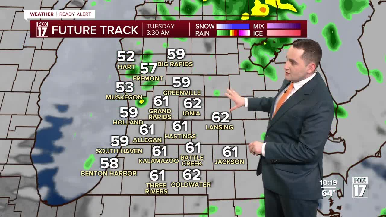



WEST MICHIGAN — The forecast from FOX 17 Weather Ready Meteorologist Colton Cichoracki: With today's gusty wind event in the rear view mirror, focus shifts to chances for more storms tonight. Damaging wind gusts are the primary threat, along with heavy rain. West Michigan is included in a Marginal Risk (level 1 out of 5) for severe weather. A few showers will linger into early Tuesday morning, before we dry out and temperatures cool down. We'll get around 0.5"-1" of rain across the area from this system. A few scattered showers are possible Wednesday and Thursday mornings, but most of the good usable hours of the day will be dry. It will be cooler, with frost possible Thursday, Friday and Saturday nights. If you've already started planting, you'll need to prepare to cover your plants!
TONIGHT: Showers and thunderstorms, and windy. Lows in the middle 50s. SSW wind at 20-30 mph.
TUESDAY: Few lingering morning showers, then mostly cloudy and cooler. Highs in the middle/upper 50s.
WEDNESDAY: Early shower chance, then mostly cloudy. Highs in the upper 50s.
THURSDAY: Early shower chance, then partly cloudy. Highs in the middle 50s.
FRIDAY: Morning frost possible. Partly cloudy turning mostly cloudy. Highs in the low 50s.
SATURDAY: Morning frost likely. Mostly sunny. Highs in the middle 50s.
SUNDAY: Partly to mostly cloudy with a few shower chances late. Highs in the upper 50s near 60.
MONDAY: Mostly cloudy with chance showers. Highs in the low 60s.
Want alerts when inconvenient or severe weather is headed your way? Download the FOX 17 Weather app and set up notifications for where you live.
For the latest details on the weather in West Michigan, head to the FOX 17 Weather page.
Follow FOX 17: Facebook - X (formerly Twitter) - Instagram - YouTube
