

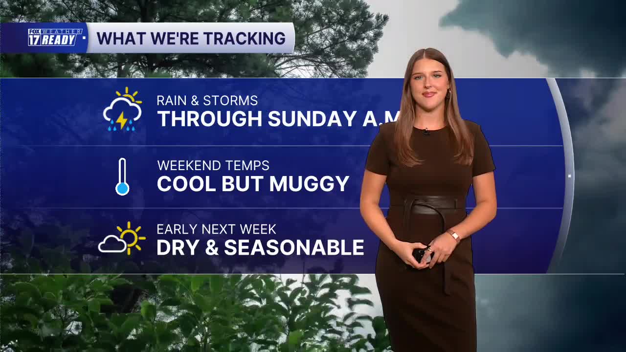



WEST MICHIGAN — The forecast from FOX 17 Weather Ready Meteorologist Gracyn Freund: Today will be cloudy and soggy with scattered showers likely through most of the day, and maybe a few embedded thunderstorms. Severe weather is not expected in our area, but there could be periods of heavy rain, which we do need! Rain amounts from this system look to be around 0.25"-0.5", with some locally higher amounts possible, especially south of I-94 closer to the state line where rain will be more consistent. Clouds and rain will keep high temperatures only in the mid 70s, but it will feel very muggy. A few showers could linger overnight Saturday into Sunday, especially along and south of I-94 and east of 131. Skies will gradually clear through the second half of Sunday as highs climb to around 80. A lot of sunshine is expected through early next week with seasonable temperatures in the low to middle 80s. A few rain and storm chances pop back into the forecast around mid-week.
TODAY: Mostly cloudy with scattered showers and a few thunderstorms. Highs in the mid 70s and humid. Wind E/NE at 10-20 mph.
TONIGHT: Cloudy with scattered rain showers. Lows in the mid 60s. Wind NE at 10-15 mph.
SUNDAY: Cloudy with a few showers early, otherwise becoming partly cloudy. Highs in the upper 70s to around 80.
MONDAY: Sunny with highs in the low 80s.
TUESDAY: Mostly sunny with highs in the mid 80s.
WEDNESDAY: Partly cloudy with a chance for an iso. shower/storm. Highs in the mid 80s.
THURSDAY: Partly cloudy with chance showers/storms. Highs in the low 80s.
FRIDAY: Partly cloudy with highs in the mid 80s.
Want alerts when inconvenient or severe weather is headed your way? Download the FOX 17 Weather app and set up notifications for where you live.
For the latest details on the weather in West Michigan, head to the FOX 17 Weather page.
Follow FOX 17: Facebook - X (formerly Twitter) - Instagram - YouTube
