


WEST MICHIGAN — WEST MICHIGAN — The forecast from FOX 17 Meteorologist Reece Cole: A light rain/snow mix is possible this afternoon/evening, but any precipitation will be light and isolated in nature. Another chance for light rain/snow arrives late Tuesday into early Wednesday morning, but many areas may miss out once again. The systems around the Great Lakes region remain weak and not allowing strong development of any rain or snow. Our best chance for more widespread rain/snow showers comes late Thursday night into Friday with another stronger system tracking through the southern Great Lakes and Ohio Valley. It's possible we could see some accumulating snow from this one, but the exact track and temperature profile as we draw closer will be factors in that and may change. Early indications are that temperatures are expected to remain near normal through mid-December and perhaps leading up to Christmas. That means a "white Christmas" may be difficult unless the pattern shifts to something colder. Make sure to stay up on later forecasts! Stay with the FOX 17 Weather Team. Download the free FOX 17 Weather App for the latest forecast video.
TONIGHT: Mostly cloudy. Lows at 30 degrees. Winds south to southwest at 5 mph.
TUESDAY: Mostly cloudy. Chance of light evening rain/snow showers. Highs in the upper 30s. East wind at 5 to 10 mph.
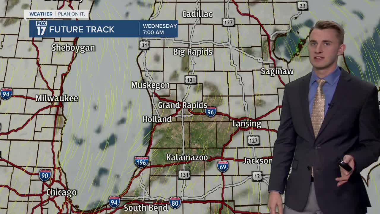
WEDNESDAY: Mostly cloudy. Chance of light early morning rain/snow showers. Highs in the lower 40s.
THURSDAY: Cloudy with an afternoon / evening chance for rain / snow mix. Highs in the upper 30s.
For the latest details on the weather in West Michigan, head to the FOX 17 Weather page.
