

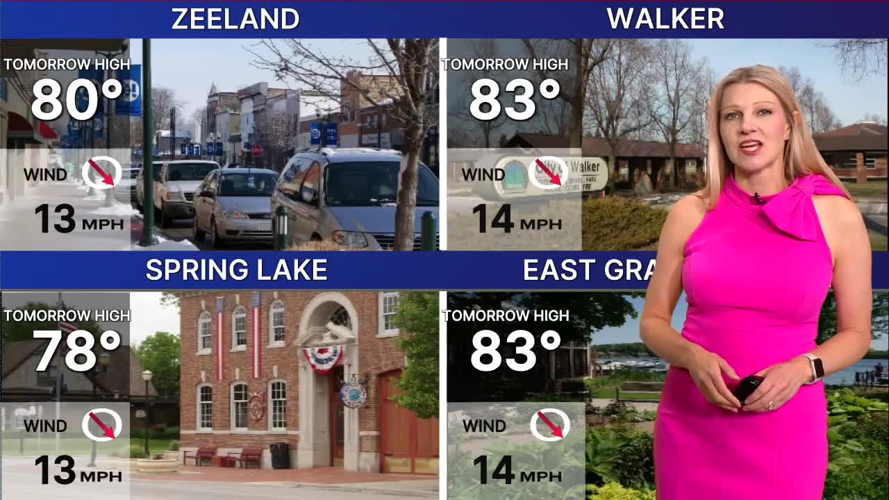



WEST MICHIGAN — The forecast from FOX 17 Weather Ready Meteorologist Kara James: There will be multiple disturbances moving through from now into early next week, keeping rain and storm chances elevated. A few spotty showers or storms are possible overnight and into early tomorrow. Clouds will gradually clear tomorrow and it will be a nice outdoor day with highs in the low 80s and low humidity. Widespread rain and storms are looking likely with a system late Sunday through Monday. The southwest corner of the state is clipped in a Marginal Risk (level 1/5) for isolated severe storms late Sunday. The better chance for severe storms will be Monday, with areas south of I-96 already highlighted in a Slight Risk (level 2/5). Lingering showers continue Tuesday as humidity remains elevated. Temperatures will be in the low 80s most days but could feel like the upper 80s due to high humidity. By the second half of next week, temperatures will drop to the upper 70s. Looking beyond, the 8-14 day temperature outlook favors below average temperatures in West Michigan through mid-month.
TONIGHT: Partly cloudy with chance stray shower/storm. Lows in the upper 60s. Wind SW at 5 mph.
SATURDAY: Chance iso. A.M. shower/storm and cloudy, turning mostly sunny. Highs in the low 80s and a bit humid. Breezy, Wind W/NW at 10-20 mph.
SUNDAY: Partly to mostly cloudy with late day showers/storms. Highs in the low 80s.
MONDAY: Cloudy with rain and thunderstorms, some severe storms possible. Highs in the low 80s.
TUESDAY: Partly cloudy with scattered showers. Highs in the low 80s.
WEDNESDAY: Partly cloudy with highs around 80.
THURSDAY: Partly cloudy with highs in the upper 70s.
FRIDAY: Mostly sunny with highs in the low 80s.
Want alerts when inconvenient or severe weather is headed your way? Download the FOX 17 Weather app and set up notifications for where you live.
For the latest details on the weather in West Michigan, head to the FOX 17 Weather page.
Follow FOX 17: Facebook - X (formerly Twitter) - Instagram - YouTube
