
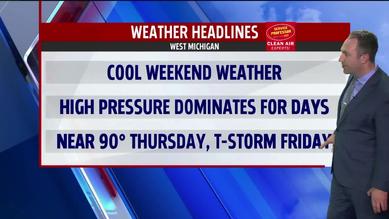


WEST MICHIGAN — The forecast is sunny for the weekend just on the cool side for the middle of June. Temperatures only make it into the upper 60s this afternoon as northeast winds go at 10-15 mph. The forecast holds no chance for rainfall here on Saturday.
A cool night shakes out tonight with lows dropping into the middle 40s by daybreak on Sunday.
A very nice back half to the weekend looks to unfold with temperatures rebounding into the lower 70s under abundant sunshine.
After another cool start to a day in the upper 40s on Monday, we see sunny skies drive numbers into the upper 70s by day's end.
The warming trend continues through the middle of the workweek as highs take aim on the middle 80s on Tuesday, the upper 80s on Wednesday, and to near 90 degrees on Thursday. High pressure will continue to be in control minimizing cloud production and maximizing our warming potential.
Our next chance for rain looks to hold off until at some point on Friday or Saturday when a cold front works into West Michigan. Scattered showers and thunderstorms will become possible at that point.
