
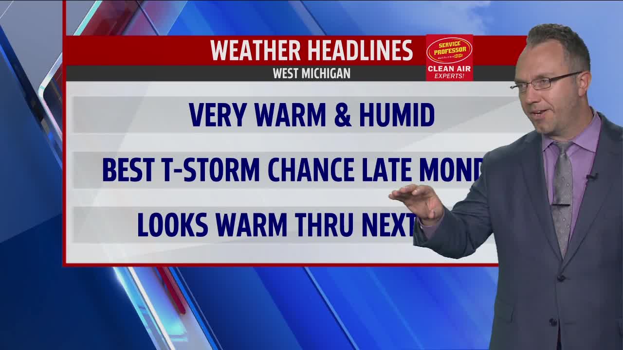


WEST MICHIGAN — A much warmer and more humid afternoon is expected here on Sunday across West Michigan. Partly cloudy skies can be expected throughout the day. Look for high temperatures to hit the upper 80s by day's end.
With dew points around 70 degrees or so, heat indices or "feels-like" temperatures will reach the low to mid 90s for several hours this afternoon. South to southwest winds will go a bit breezy at 10-15 mph with some higher gusts at times.
We do not officially have any beach/swim hazard risks along the Lake Michigan shoreline but that does not necessarily mean swim conditions will be perfect. From Ottawa County northward it seems as though it would be a good idea to be mindful of waves ( and possible rip currents ) on the order of 2-3, perhaps 4 feet around Muskegon and Oceana counties.
Despite the early morning showers and thundershowers we have seen for extreme northern and northwestern sections of the viewing area, most of the daylight stretch is to turn out rain-free. A disturbance will be approaching later this evening from the west and northwest and has the potential to bring a few showers and thunderstorms after midnight tonight especially southwest of Grand Rapids.
This disturbance will likely be weakening as it arrives so coverage of wet weather is a bit of a wild card. Nonetheless, a chance for rain does exist overnight tonight and into early Monday morning.
Much of the daylight period on Monday will shake out rain-free, very warm, and humid with highs in the mid to upper 80s and heat indices in the lower 90s. Partly sunny skies are anticipated. As a cold front approaches later at night, a new, and perhaps better, shot for scattered showers and thunderstorms will be with us mid-late evening into the early hours of Tuesday.
Behind this second chance for rain, we will see temperatures and humidity levels drop off for Tuesday. Partly cloudy skies are expected on Tuesday with highs in the lower half of the 80s. The rest of the workweek looks to offer low to moderate humidity and rain-free weather. Temperatures will remain on the warm and above normal side in the middle 80s. As it stands right now, the next chance for rain is to be on Saturday.
