
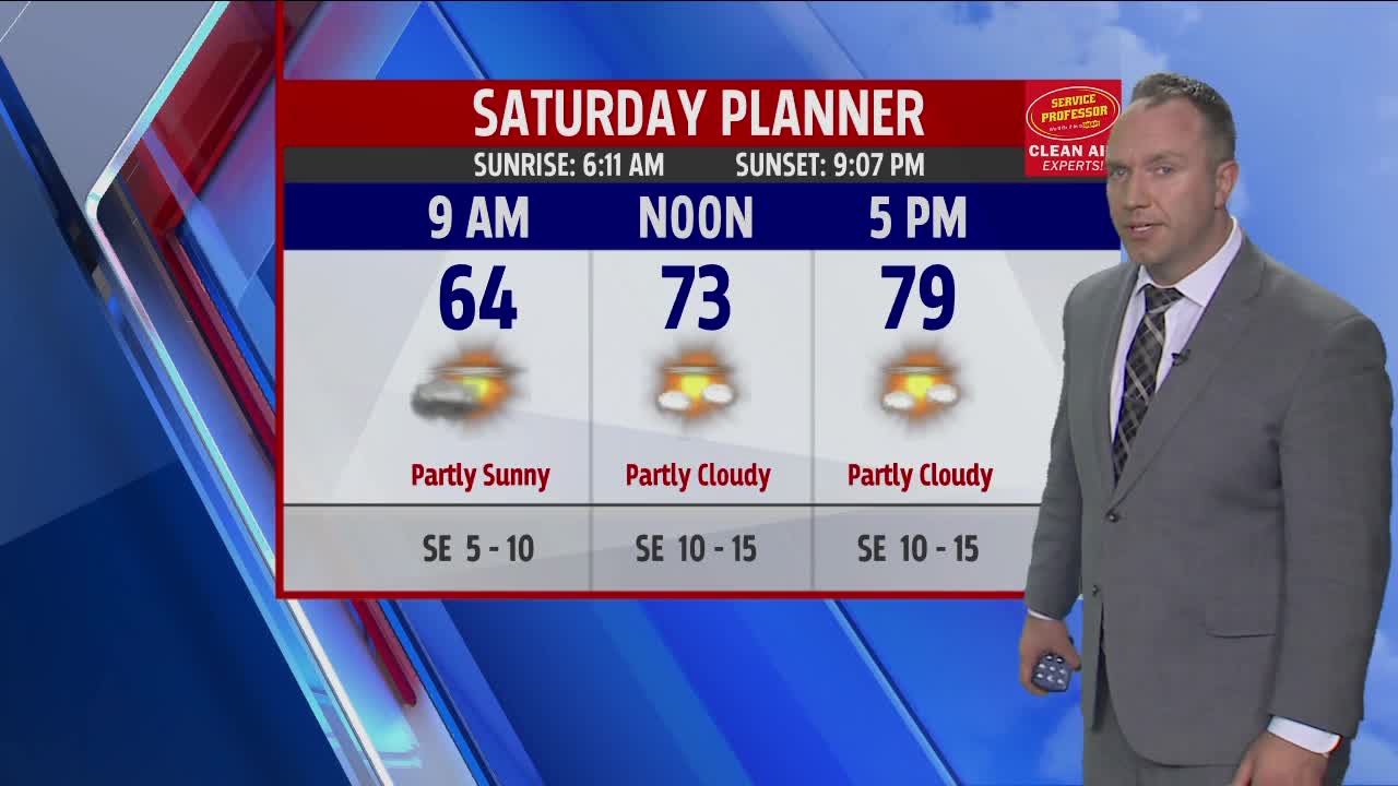


WEST MICHIGAN — A good deal of sunshine is expected here on Saturday with temperatures making a run into the upper 70s with a chance for an 80 degree reading to be registered in Grand Rapids.
The forecast stays dry through the daylight stretch with the chance for showers and thundershowers entering the picture after say 8 or 9 P.M. along the Lake Michigan shoreline and later for areas inland. Locally heavy downpours can be expected for a period in the late evening / early overnight period.
Activity ends well before sunrise Sunday but leaves clouds and damp conditions to open. Clouds are expected to give way to sunshine late morning and for the afternoon with readings climbing into the upper 70s. Humidity will show a noticeable uptick by late day on Sunday.
Models hint at the possibility of a new shower or thundershower overnight Sunday into Monday morning along a stationary boundary draped across West Michigan. This boundary will lift northward through the morning on Memorial Day with the prospect for wet weather going down significantly heading into the afternoon.
Expect a very warm and humid Memorial Day with temperatures in the middle 80s and heat indices near 90 degrees.
