


WEST MICHIGAN — As you step outdoors this weekend, it's best to plan ahead for the elements! A burst of light rain and snow showers are in the forecast for Saturday afternoon and evening, with another round in store for overnight Sunday. While accumulation will be limited both days, temperatures are expected to be cooler-than-average. Daytime high temperatures this weekend stay in the middle to upper 40s.
The latest FOX 17 Future Track estimates a wintry mix of rain and snow to track into West Michigan around 1 p.m. Saturday. Most models anticipate the precipitation to mainly be light snow showers initially, with light rain showers mixed in for the late afternoon and evening.

By 5 p.m. Saturday, widespread rain and snow showers are likely. If you have any outdoor plans this evening, don't forget your winter gear!
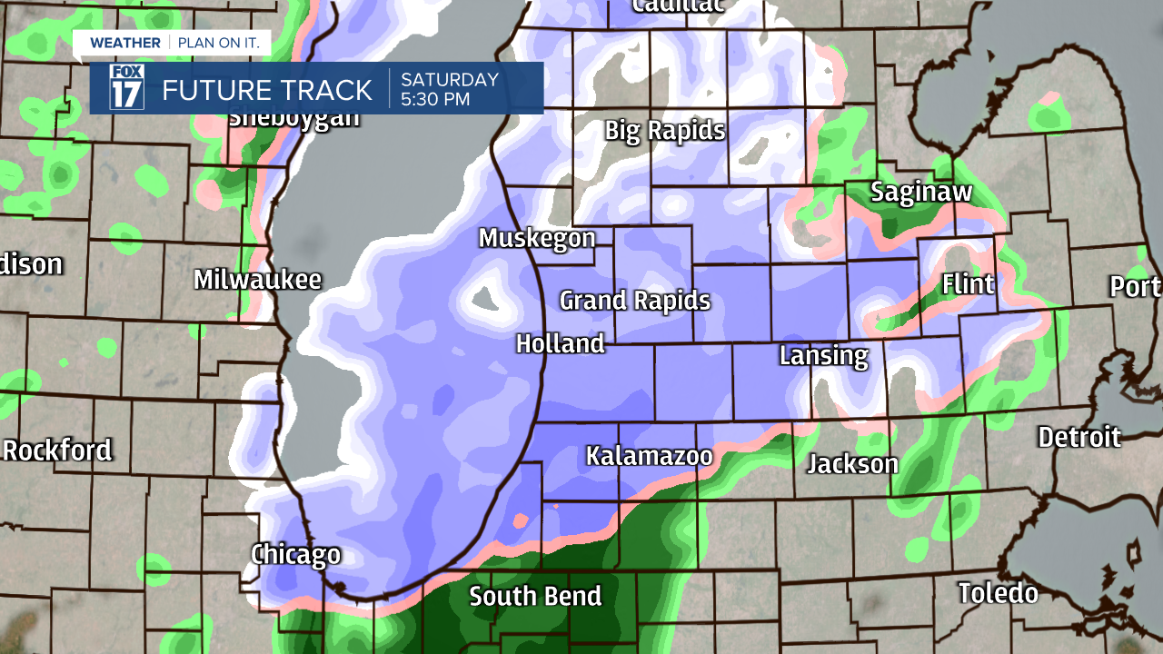
Precipitation moves out of the region by 10 p.m. Saturday, with mostly cloudy skies thereafter. Any accumulation will be light! Rain accumulation will be under half an inch, with snow accumulation around a light dusting.

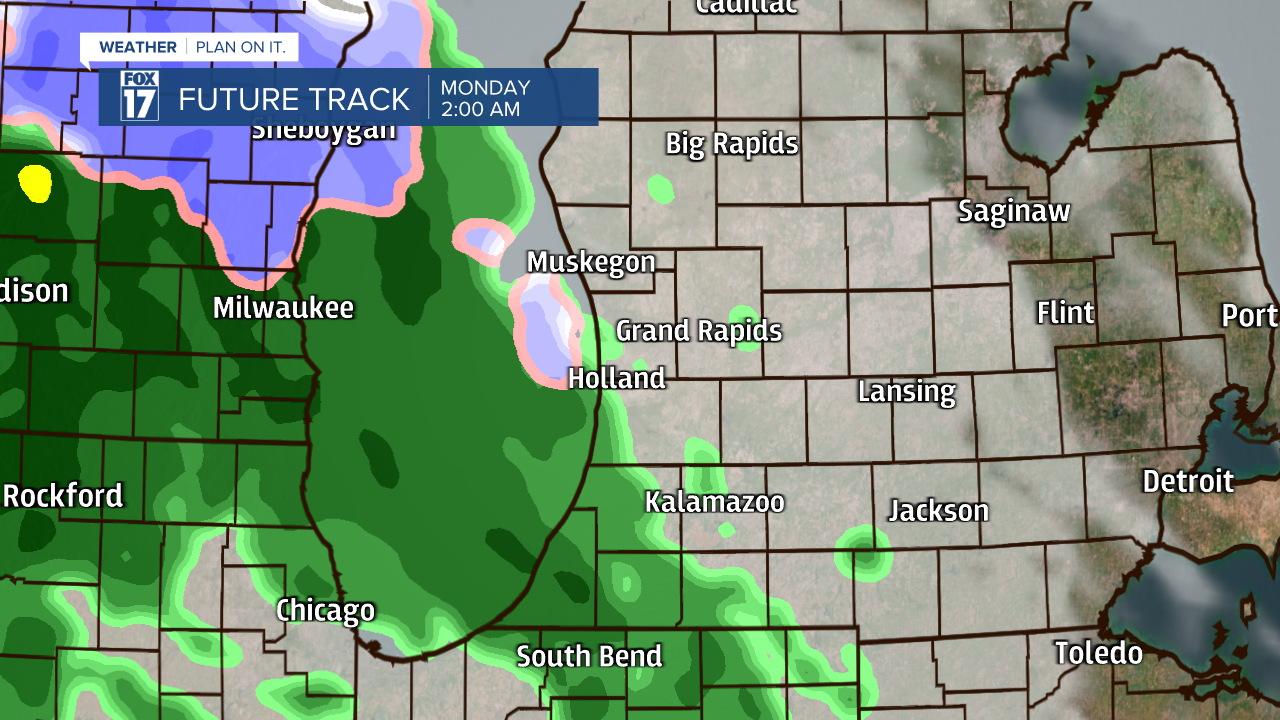
Cloud cover kicks off your Sunday, with a few moments of sunshine in the afternoon. Locations near I-94 have the best chance of receiving partly cloudy skies Sunday afternoon and evening. Another round of rain and snow showers is likely Sunday night, moving in after Midnight. Precipitation is expected to last into early Monday morning, directly impacting commutes.
The chance for snow in West Michigan doesn't end there. Models are suggesting additional chances later this week. Stay tuned with FOX 17 for your latest forecast outlooks.

