


WEST MICHIGAN — Grand Rapids, whether rain or snow, has seen its fair share of precipitation this 2024 calendar year. Through March 29, Grand Rapids is a midst its 2ND wettest start to a year on record! Muskegon is currently 8TH wettest on record, and Kalamazoo is 9TH wettest. This is data for total precipitable water measured, so rain plus how much moisture if you melted the snow.
Here's Grand Rapids Top 3 Wettest starts to a calendar year through March 29.

Regardless of the year, March has been very wet for all of West Michigan, with Muskegon seeing nearly 4.00" of rain and Grand Rapids just under 3.50". Everywhere is measuring a surplus of .80" or more! Muskegon has seen 1.70" more rain water compared to average!
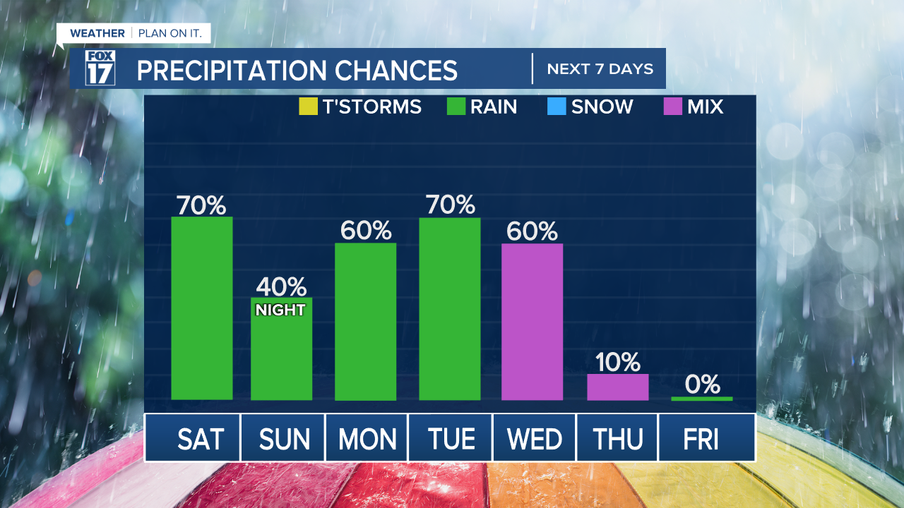
This weekend suggests we will end it on a wet note, bringing lots of communities over the 4 inch mark for March before we start April wet, too. We may see measurable precipitation (yes, snow is possible in this stretch) 6 days in a row before warmer and drier air return next weekend.
The average model output of rain and snow over the next 5 days is well over an inch of precipitable water! Get ready for some April showers that look to bring us May flowers. Maybe even a few snow showers before its all over!
For the latest details on the weather in West Michigan, head to the FOX 17 Weather page.
Follow FOX 17: Facebook - X (formerly Twitter) - Instagram - YouTube
