


WEST MICHIGAN — While weather conditions in West Michigan were stellar this past Saturday with high temperatures in the 60s, conditions are quickly changing by Sunday night and into the start of the work week. Snow showers are returning to West Michigan overnight Sunday into early Monday morning, as a low pressure system tracks through the Lower Peninsula. The majority of West Michigan will experience all snow showers, but a wintry mix is possible for locations southeast of Kalamazoo.
The latest FOX 17 Future Track shows snow showers moving into Southwest Michigan around 2 a.m. Monday. Snow gradually moves north through the early morning hours.

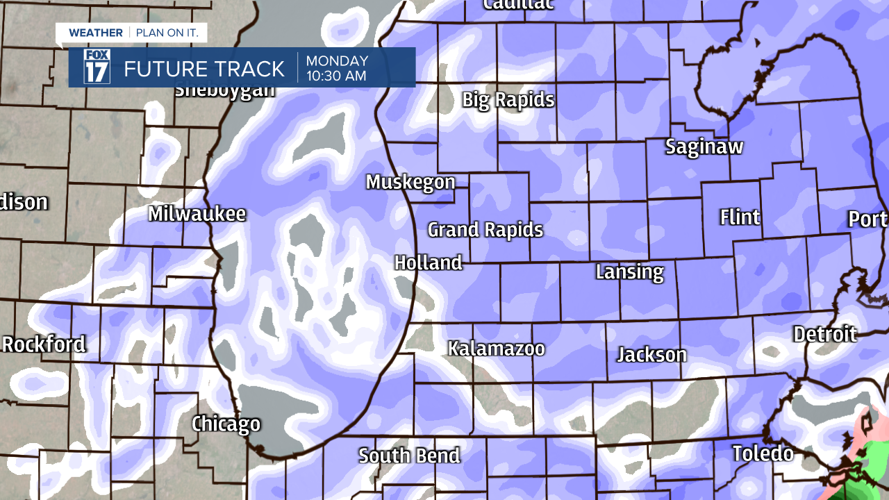
Snow showers become widespread during the Monday morning commute time. Below is a picture of the FOX 17 Future Track at 7 a.m. Monday. Roads could be slick and snow-covered in spots.

The heaviest and most widespread snow is expected between 7 a.m. through 12 p.m. Monday. Snow showers gradually depart after 1 p.m. in the afternoon, with a few lingering flurries for the late evening hours.
Snow accumulation models are indicating a widespread 1" to 3" expected in West Michigan by Tuesday morning. Isolated higher amounts are possible closer to US-10 and north of I-96.

For the latest forecast updates, stay tuned with the FOX 17 Weather Team. More sunshine and calmer conditions settle in for the rest of the work week.

