


WEST MICHIGAN — There has been rain in West Michigan every day since last Monday. With it being almost a week now of consistent rain chances, you would think we would be trending towards drier days. While it will dry out eventually, rain is still expected each day now through Wednesday.
Thankfully, it will not rain all day, every day. Rainfall rates will also be light, meaning no more heavier downpours. We will, however, have to keep the umbrella on hand the next few days when we go out. Rainfall amounts through Wednesday will stay around or below a quarter of an inch.

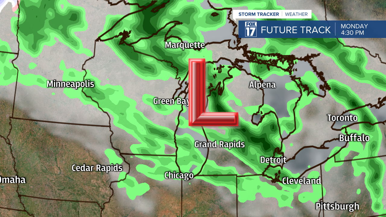
After a few dry hours this morning, scattered showers will return in the afternoon and evening. Rainfall today will be around or below a tenth of an inch. Scattered showers remain in the area Monday-Wednesday, but there will be more dry hours than rainy hours. The reason for the continued rain chance is two upper level low-pressure systems that will slowly coast through the Great Lakes. The first will slowly move east through tomorrow, only for it to be replaced by another coming out of Canada. The second system will be here Tuesday and Wednesday. It will also being even colder temperatures with it, leading to highs struggling to make it to 50° both days.
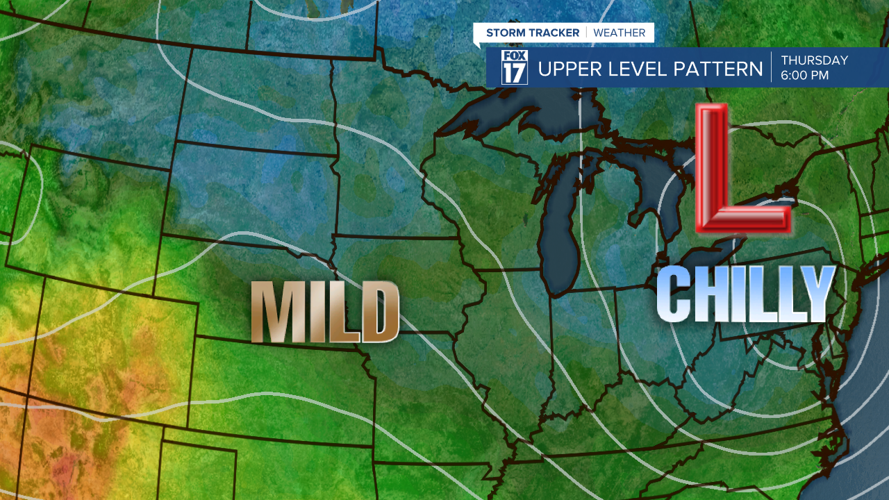
The second upper low will be far enough east by Thursday to allow for drier weather and some sunshine to finally return. It will also take the coldest air along with it, allowing high temperatures to get to 60° to end the week. This is definitely a far cry away from the 70s and 80s we were lucky to get last week, but it is still a few degrees above normal for this time of the year.

