
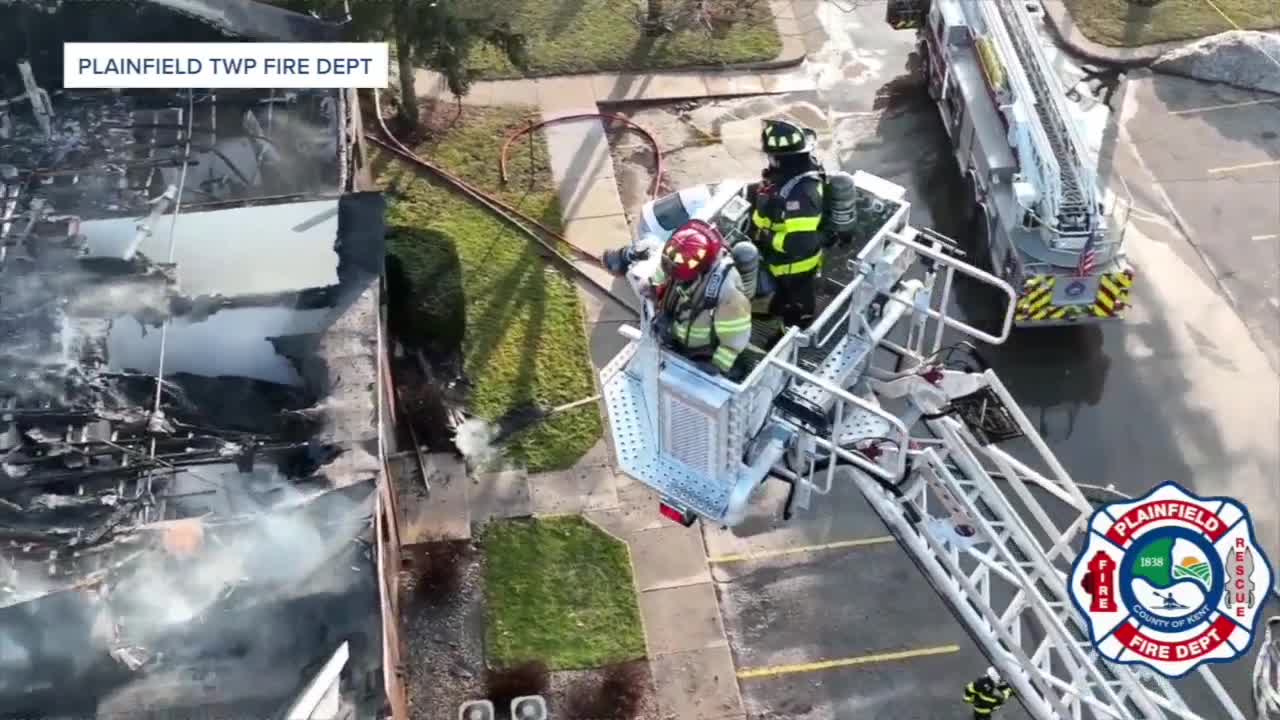


PLAINFIELD TOWNSHIP, Mich. — When emergencies strike in the Northview area, the Plainfield Township Fire Department has an advantage that most departments lack: eyes in the sky.
The department's drone team represents one of Michigan's first fire-based unmanned aircraft programs, featuring eight FAA-licensed pilots with thermal imaging capabilities that have revolutionized how they respond to emergencies from structure fires to water rescues.
"Today we are a multi-functioning team," said Fire Chief Kyle Svoboda. "We have eight pilots that are FAA licensed, two more that are getting onboarded. And we're able to be deployed across the state, and sometimes could be across the country."
The program began in 2021 when a department member approached leadership about starting a drone initiative. After researching programs across Michigan and conducting a needs assessment, the department secured funding through the Comstock Park Downtown Development Authority for a larger drone equipped with thermal imaging and range-finding capabilities.
The investment has paid dividends beyond Plainfield Township's borders. The team holds certification through the National Institute of Standards and Technology and regularly deploys to assist other departments statewide.
Equipment Operator Riley Nienhuis, who brought previous drone experience from audio-visual production work, described the technology's versatility in emergency situations.
"We use them for a multitude of things," Svoboda said. "We'll use them township-wide to help with some of our infrastructure projects, evaluating things. Look at our water towers. We use them on fire scenes to actually get an overview of the scene for the incident commander."
The thermal imaging capabilities prove especially valuable for locating missing persons. The drones can detect body heat signatures through tree coverage on trails like the Merrill Trail on 10 Mile Road, where cyclists sometimes crash and become disoriented.
"We can deploy the drone with thermal imaging, and the different types of modes the thermal imaging has, we could locate people in the woods," Svoboda said.
During water emergencies, the drones provide real-time tracking capabilities that traditional rescue methods cannot match.
"If we identify someone in the water, we can follow them down the river in real time," Svoboda explained. "There's GPS capabilities on it, so we can report that back to the incident commander to find the individuals."
Nienhuis recalled a water rescue at Versluis Lake where the drone's mapping capabilities proved crucial. "We were able to set boundaries for that lake, and it flew back and forth, and we were able to really focus on that monitor, both using thermal imaging and the zoom camera to try to locate that victim."
Beyond active emergencies, the drone team assists with fire investigations, providing aerial mapping and documentation that helps determine fire origins and spread patterns.
"Fire investigators will deploy us, and we'll come out and we'll do surveying and mapping of their scenes that helps them get generic ideas of where the fire started, how it spread, and it just brings closure to those families," Nienhuis said.
The team's expertise extends far beyond local emergencies. In April, Nienhuis deployed to northern Michigan following ice storms to survey radio tower damage for the state's public safety communications system.
"We went up and inspected around 40 towers all the way from the west to the east and even up into the U.P.," he said. "We had about six drones up in the air at all times at different tower sites."
The efficiency gains were dramatic. "They said that if we didn't use drones, they'd have to send people up on the towers to inspect them, and that would take them months. And we did about 45 towers in three days."
Recognizing community privacy concerns, the department has established strict operational guidelines.
"We won't follow people with drones. We won't go into people's windows with drones for no reason," Svoboda said. "We have very specific policies on the hows and the cans and the can'ts that we follow very strictly."
During declared emergency scenes, the department maintains operational control. "Once you've declared an emergency on the scene, for us that scene really becomes our scene," Svoboda explained. Outside emergency situations, permission is required for drone deployment.
Plainfield's certification allows the team to respond throughout Michigan under mutual aid agreements, similar to how fire engines are shared between departments during large incidents.
"We're an accredited drone team, and so if there is an incident that is big enough, we will get deployed out and requested to go," Nienhuis said. "We've been requested by other municipalities for help look for people, or to help just get a general view of the area, looking for missing people, or endangered people."
The team regularly assists with brush fires, where aerial perspective proves invaluable for tracking fire spread across large areas and identifying hot spots that could reignite.
All pilots complete FAA Part 107 certification and maintain required flight hours annually. The department provides in-house training before sending members through federal certification processes.
"We have in-house training, get members, see if they're engaged and involved and want to be part of the team," Svoboda said. "We kind of show them what the drones are and have them actually fly."
The team schedules weekly equipment checks and training flights while ensuring minimum staffing of two drone pilots daily without impacting regular firefighting operations.
Svoboda envisions expanding the program to include automated deployment systems being tested nationally. These "pod" systems could launch drones automatically from strategic locations, providing immediate aerial intelligence for incidents like multi-vehicle crashes on US-131.
"If we had drones deployed down 131, these drones would actually deploy and tell us where to go, provide us a quicker response time, give us on-scene footage right away, stream it back to the vehicles," he said.
Artificial intelligence integration is already beginning, with modern drones capable of object recognition and automated inspection reporting.
"There is AI in drones now, specifically item recognition or locating things," Nienhuis noted. "The drones can say, hey, this is a vehicle, or this is a person, or this is a tree."
The primary operational challenge remains weather conditions, particularly wind speeds and precipitation that can ground aircraft or reduce visibility.
"Weather is a big thing," Nienhuis said. "That's part of our pre-checks before we fly, is checking the weather, checking cloud cover, if there's any incoming storms, what our wind speed is and our wind direction."
The technology delivers significant cost benefits for the community. Quick drone deployment can provide incident commanders with crucial information that helps save structures and reduces overall emergency response costs.
"Quick fire response can save a home or business owner hundreds of thousands of dollars at a fraction of that cost to the fire department," according to department officials.
Chief Svoboda emphasized the department's commitment to maintaining cutting-edge drone technology as capabilities continue evolving rapidly in the emergency services sector.
The Plainfield Township Fire Department's drone program represents how smaller departments can leverage technology to enhance public safety while providing mutual aid resources that benefit communities throughout Michigan.
This story was initially reported by a journalist and has been converted to this platform with the assistance of AI. Our editorial team verifies all reporting on all platforms for fairness and accuracy.
