


WEST MICHIGAN - We had ROUND ONE of severe storms rip through our state Tuesday evening and early overnight that produced 60 to 70 mph straight line wind gusts. These storms, along with heavy rain and extensive lightning, brought down tree limbs, branches, and power lines leaving 200,000 Consumer Energy customers without power at one point. Now, ROUND TWO of severe storms may be coming this evening. The entire area has been placed in an ENHANCED RISK for severe storms. This is actually higher than Tuesday's storm threat which was a slight risk.
While it's possible to see thunderstorms in areas through the mid/late afternoon, we believe the best chance for another round of severe storms will occur this evening. Another upper level disturbance will track into Wisconsin and likely quickly develop strong to severe storms this afternoon to our north and west. Those storms would likely track south and east quickly into Lower Michigan. The primary threat would be damaging straight line winds between 60 and 70 mph, with an isolated tornado or two possible. Extensive lightning and heavy downpours will likely accompany these storms. See the severe weather threats below.

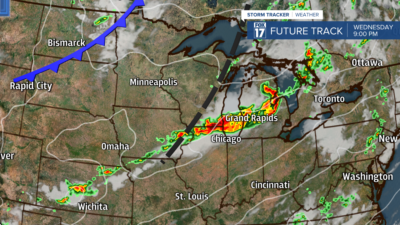
These storms are expected to blast through the area quickly, but they may also leave more trees, branches, and power lines down in their wake. Below is an image from our forecast model valid for 9 P.M. this evening.
We'll have one more day of strong to severe storms possible with the passage of the cold front Thursday evening/night, otherwise we expect a cooler, drier, less humid, more comfortable, refreshing airmass to gradually filter in Friday. The weekend looks great! Get the complete West Michigan forecast at www.fox17online.com/weather.
