
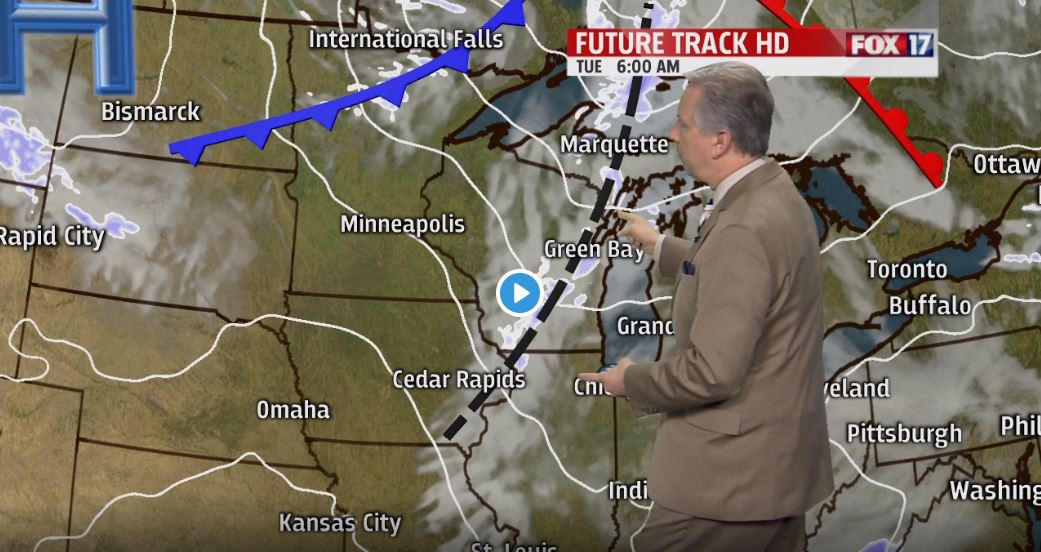


WEST MICHIGAN — The forecast from FOX 17 Chief Meteorologist Kevin Craig: High pressure builds in and sunshine returns briefly on Monday. Light snow showers are possible Tuesday P.M. into Wednesday morning with some minor lake effect and/or lake enhancement. A couple of inches may fall from Grand Rapids off to the north/west. Colder air briefly punches in Wednesday with highs only in the upper 20s to near 30, before a stronger, more powerful moisture-laden system arrives with wind and rain on Thursday. A second low pressure system riding along a front may clip Michigan with more rain Friday night into Saturday. If this happens, we can see one to two inches of rain through the period creating higher streams/creeks/rivers and more flooding issues.
OVERNIGHT: A few light evening snow showers/flurries/drizzle, otherwise mostly cloudy and breezy. Some early morning clearing is likely. Lows in the lower 30s. Winds west at 10 to 20 mph.
TOMORROW/MONDAY: Mostly sunny to partly cloudy and pleasant. A little breezy. Highs in the upper 30s to near 40. Winds west at 10 to 15 mph.
MONDAY NIGHT: Increasing clouds. Lows in the upper 20s. Winds southwest at 5 to 10 mph.
TUESDAY: Becoming mostly cloudy with a chance of light P.M./night snow showers. A little breezy. Highs in the mid 30s. Winds southwest/west at 10 to 20 mph.
WEDNESDAY: Chance of morning snow showers, otherwise becoming partly cloudy to partly sunny. Highs around 30.
