
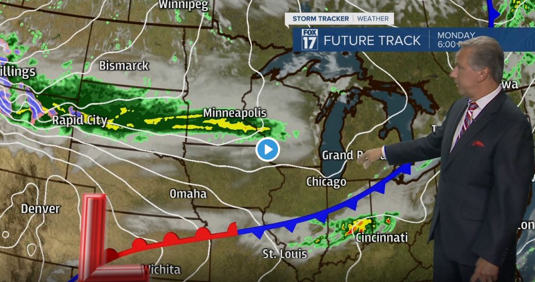


GRAND RAPIDS — WEST MICHIGAN — The forecast from FOX 17 Chief Meteorologist Kevin Craig: A potent low-pressure system and cold front will swing through the state overnight into Monday morning. Rain and strong to severe thunderstorms are possible Sunday overnight. Large hail and damaging straight line winds are the primary threats, with heavy rain and vivid lightning also possible. We remain in a "SLIGHT RISK" for severe weather development. Some of these storms may trigger a Severe Thunderstorm warning. The threat diminishes by early Monday morning. More rain/storms are likely on Tuesday. In fact, this week in general will be on the cooler side. Normal highs have us in the mid/upper 70s, we expect 60s and lower 70s. Have a pleasant week.
TONIGHT: Mostly cloudy. Scattered showers and thunderstorms are likely. A few strong to severe storms are possible with gusty winds/hail. Heavy rain and lightning is likely as well. Look for mild lows in the mid 60s. Brisk south to eventually west winds at 10-20 mph.
LABOR DAY: Some early morning lingering showers are possible, otherwise becoming partly cloudy to partly sunny. The majority of the holiday will be dry. Highs in low/mid 70s. West-northwest winds at 10 to 15 mph. Expect SMALL CRAFT ADVISORIES and a HIGH BEACH HAZARD risk on Lake Michigan.
MONDAY NIGHT: Becoming mostly cloudy with more showers and storm developing. Lows in the mid 50s Winds northeast at 5 to 10 mph.
TUESDAY: Cloudy skies rain and a few scattered thunderstorms a majority of the day. Look for cool temperatures with the precipitation and extensive cloudy cover. Highs only in the low 60s. Winds east-northeast at 10 to 15 mph.
WEDNESDAY: Partly sunny. A chance of showers. Highs in the upper 60s.
