


GRAND RAPIDS, Mich. — Waves of showers and thunderstorms are expected on Saturday as system tracks through West Michigan. The first wave arrives in the early morning, due to a warm front. The initial wave could bring gusty winds at times, but severe weather is not expected. The stronger wave pushes into West Michigan during the late afternoon and evening due to a passing cold front. The second wave brings the greatest risk for severe weather.
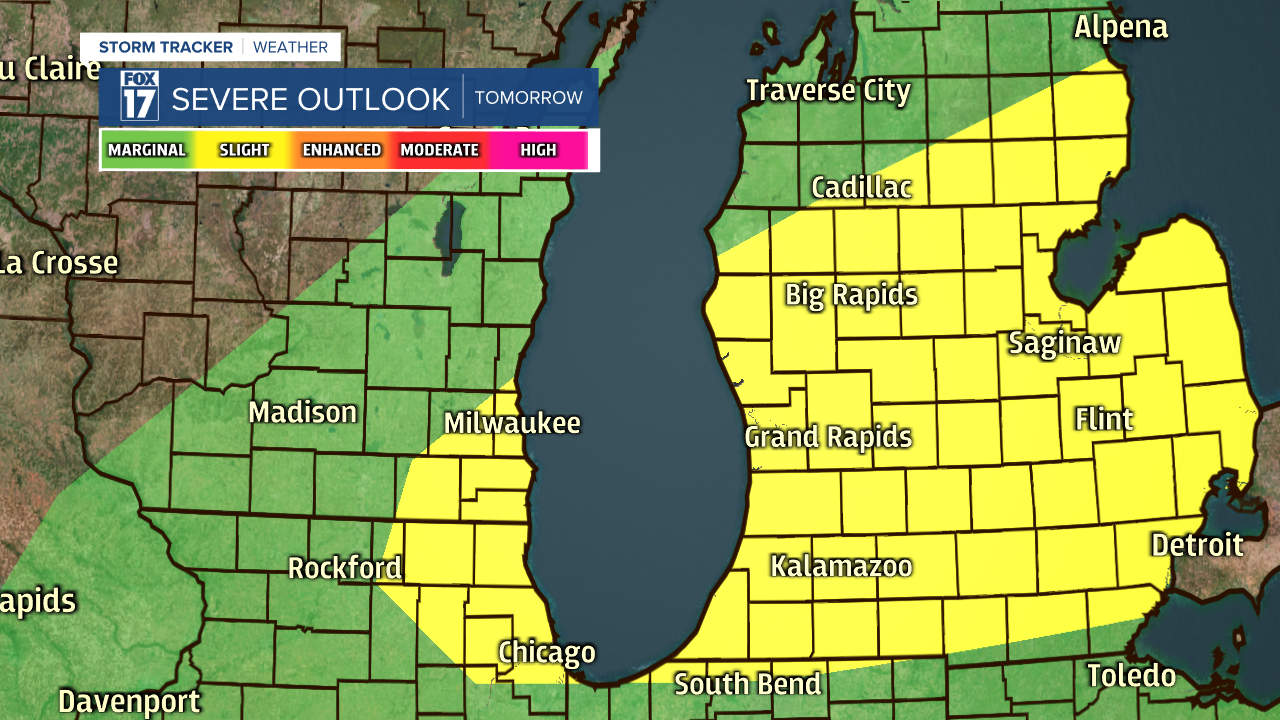
West Michigan falls under a slight risk for severe weather on Saturday, with the main threats being damaging winds, heavy downpours, and small hail.
With the passing system, winds will be strong through the day from the southwest. This will lead to dangerous swimming conditions along Lake Michigan. Beach hazard statements and small craft advisories are in effect from Saturday morning through Saturday evening. Winds will come from the southwest at 15 to 20 mph through the day, with wind gusts exceeding 25 mph. Wave heights between 3 to 5 feet are expected.

Plan ahead by having several ways to receive severe weather alerts, and stay tuned with the FOX 17 weather team.
