
West Michigan – A strong area of low pressure will bring significant rain and the chance of severe weather the next few days. The Storm Predication Center has a “Slight Risk” of severe thunderstorms along and south of I-96 for Thursday afternoon and night.

The storm will track into western Iowa by Thursday afternoon with scattered thunderstorms developing over West Michigan.

Future Track for 11 PM Thursday
Showers and thunderstorms will become widespread across the area by late Thursday evening. A few storms could become strong to severe.

Future Track for 8 AM Friday
Friday will start with showers and thunderstorms over all of West Michigan. Depending on the track of the storms, some parts of the area could see over 1″ of rain.
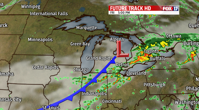
Future Track for 5 PM Friday
The low pressure will track to the northeast by Friday evening with showers and thunderstorms slowly ending.
Check the latest Severe Weather Outlook at :
