


WEST MICHIGAN — FOX 17 is issuing a Weather Ready Alert overnight and for Wednesday morning because of a wintry mix and later re-freeze.
This is likely the first of several Weather Ready Alerts this week, with a handful of systems expected to roll through the Great Lakes over the next seven days.
There is a WINTER WEATHER ADVISORY for Oceana, Muskegon, Ottawa, Newaygo, Kent, Mecosta, Montcalm and Ionia counties through 4 p.m. Wednesday for 2 - 4" of snow and an icy glaze. Neighborhoods further north have a better chance of higher snow totals, some of which could be closing in on 6".

Communities south of I-96 will see more rain than snow. Expect road conditions to worsen the deeper into the night we go.
This window of rain & warmth has melted some of our snow pack. Melting snow will also lead to standing water on the roads. With road temperatures close to or slightly below freezing, even if air temperatures are above freezing, there will be opportunity for water to re-freeze on the roads. Dangerous slick spots are expected, especially on rural and neighborhood roads, bridges and overpasses.
The last push of cold air behind the low pressure early to mid morning Wednesday switches remaining rain back to snow. Any water left on the roads will freeze as temperatures plummet, and the wind picks up.
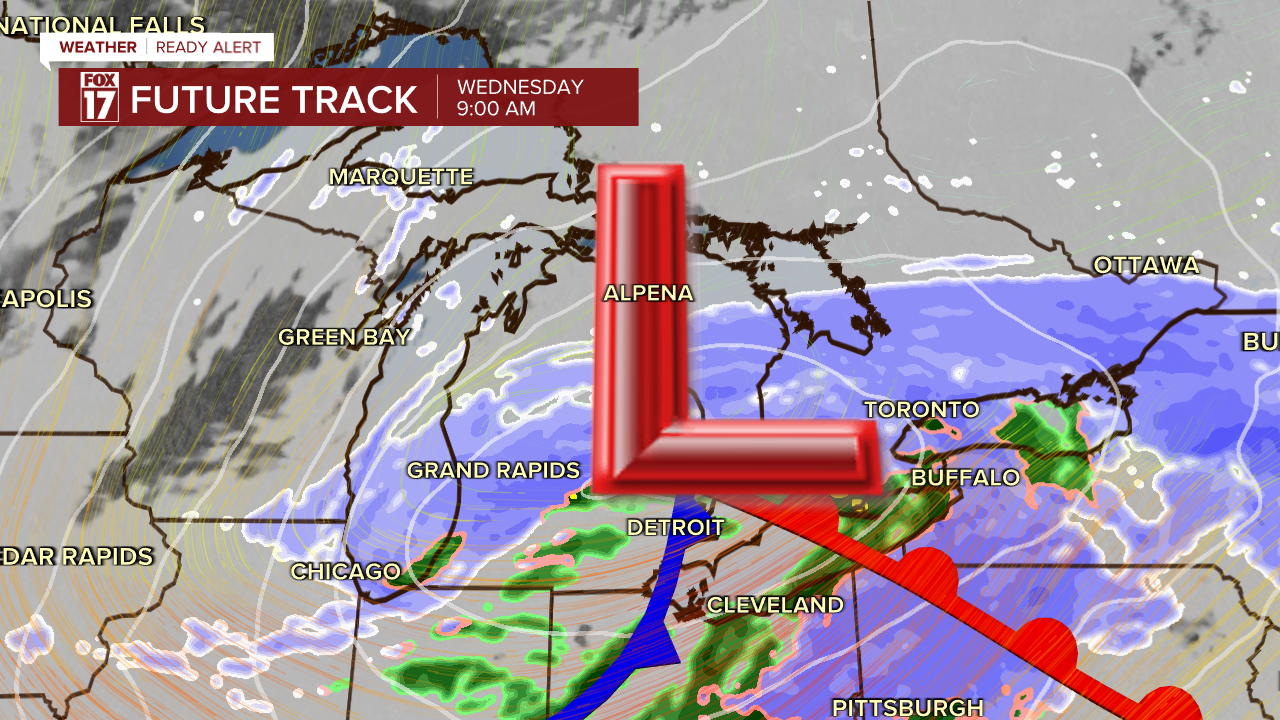
Wednesday afternoon, the wind changes around to come from the northwest. This combined with cold air flowing over Lake Michigan will ignite a few lake effect snow bands, but most neighborhoods will stay dry. The feels-like temperatures will drop too, back down into the low teens.
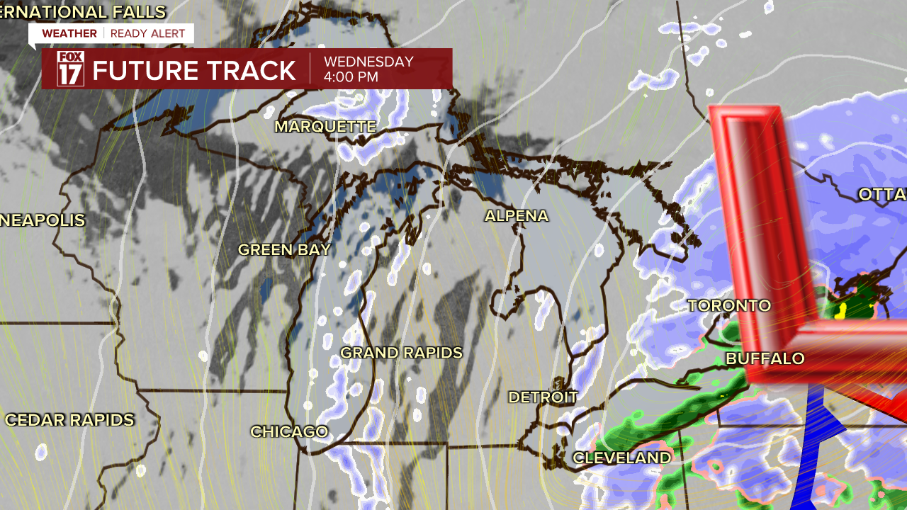
Expect a hard re-freeze with the rain/slush/snow hardening overnight, and some difficult travel on Wednesday morning. We anticipate the worst travel from these systems to be Wednesday night into Thursday when the cold air rushes in to spots that earlier in the day, had rain and where standing water on the roads turns to ice.
THURSDAY
Lake effect will continue through the morning, but drier air will move in midday. Road conditions will not be ideal Thursday morning because of the cold temperatures, even though it will be a mainly dry start to the day, with only isolated areas of lake effect snow happening throughout the day.
If we don't lose our full base of current snowfall, it seems likely we will have snow on the ground until Christmas week.
For the latest details on the weather in West Michigan, head to the FOX 17 Weather page.
Follow FOX 17: Facebook - X (formerly Twitter) - Instagram - YouTube
