


WEST MICHIGAN — A WINTER WEATHER ADVISORY is in effect north of I-96 for the potential for hazardous travel conditions tonight through 10AM Monday.
The area of mixed precipitation is likely to be brief, but creating the potential for some slippery overnight travel conditions. Widespread lt. snow is likely to come along with the icy mixture of precipitation, as a moderating trend begins to unfold with milder temperatures building for much of the week.
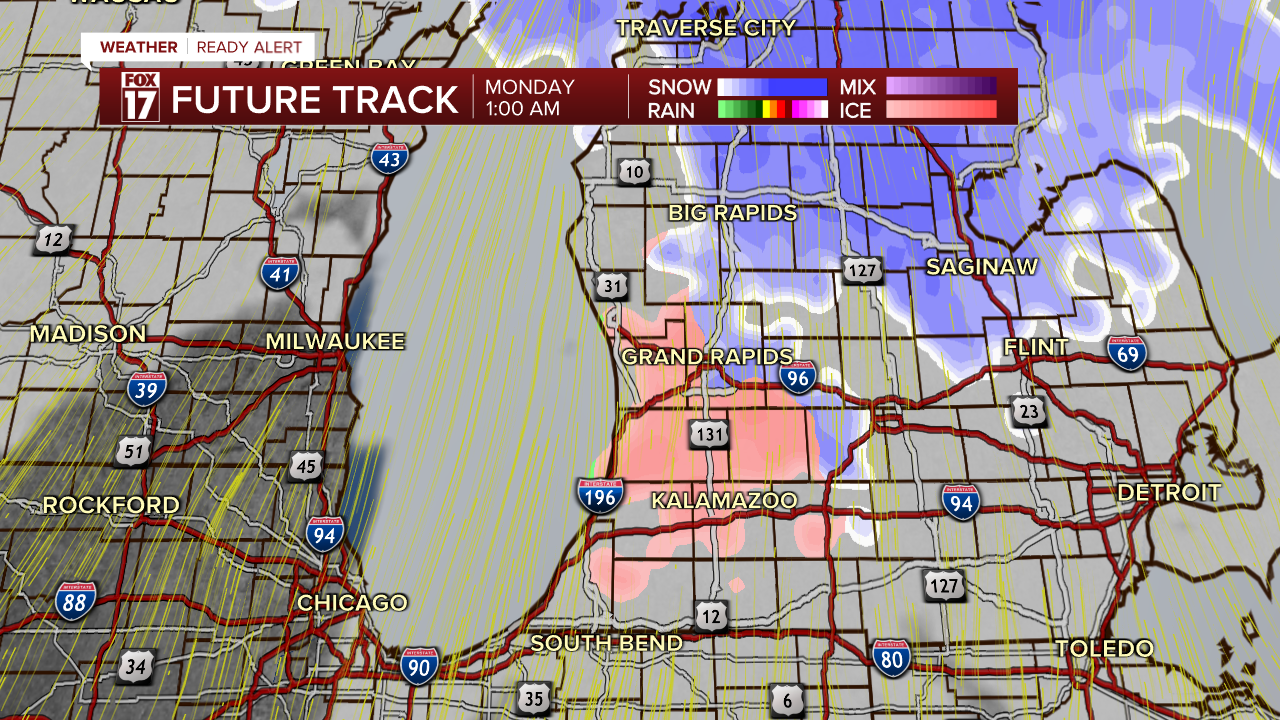
Here's a look at the potential evolution of the precipitation:
12:30AM Monday

1AM Monday
2AM Monday

7:30AM Monday

At this point, computer models are indicating much of the precipitation will move out early Monday morning, with much of the day trending dry. Widespread dense fog may form Monday.
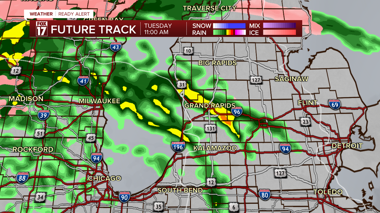
Here's a look at the next surge of precipitation arriving Tuesday; mainly as widespread rain
11AM Tuesday
3PM Tuesday

For the latest details on the weather in West Michigan, head to the FOX 17 Weather page.
Follow FOX 17: Facebook - X (formerly Twitter) - Instagram - YouTube
