


WEST MICHIGAN — A very slippery morning commute is likely, with lingering freezing drizzle mixing with and changing to light snow.
There is a WEATHER READY ALERT as a WINTER WEATHER ADVISORY continues through 1PM for hazardous travel conditions. Freezing drizzle has created very icy conditions this morning, with widespread snow moving in for the morning commute.

Freezing drizzle is likely to mix over to snow, creaing a glaze of ice which could cause slick spots on elevated bridges and overpasses, and if you park outside you may find your car with a thin layer of ice in the morning.
The second wave of snow is arriving this morning and will be heavier than the snow Thursday.

Reduced visibility and slick roads are likely area wide for the Friday morning bus stop, and extending into the work commute.

This cold front moves through quickly, and by noon dry air will moves in and snow ends.
Between the two waves of snow, 1-3" is expected. There could be isolated higher totals along the lakeshore from any lake effect bands that persist.

Temperatures will be falling after mid-morning Friday, from the 30s down into the 20s through the afternoon. Gusty north wind will pull cold air south, and create very cold wind chills. It could already be feeling as low as -5 to -10 by 7 p.m., and stay in that range of frigid wind chills overnight.

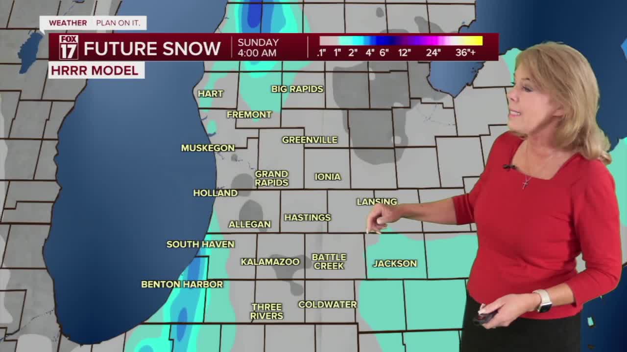
It will be a very cold weekend, with single digit morning temperatures. Saturday will be the coldest day with highs in the upper teens, but with some partial sunshine. Sunday will be warmer, in the mid-20s, but another round of morning snow could lead to occasional slick spots.
For the latest details on the weather in West Michigan, head to the FOX 17 Weather page.
Follow FOX 17: Facebook - X (formerly Twitter) - Instagram - YouTube
