
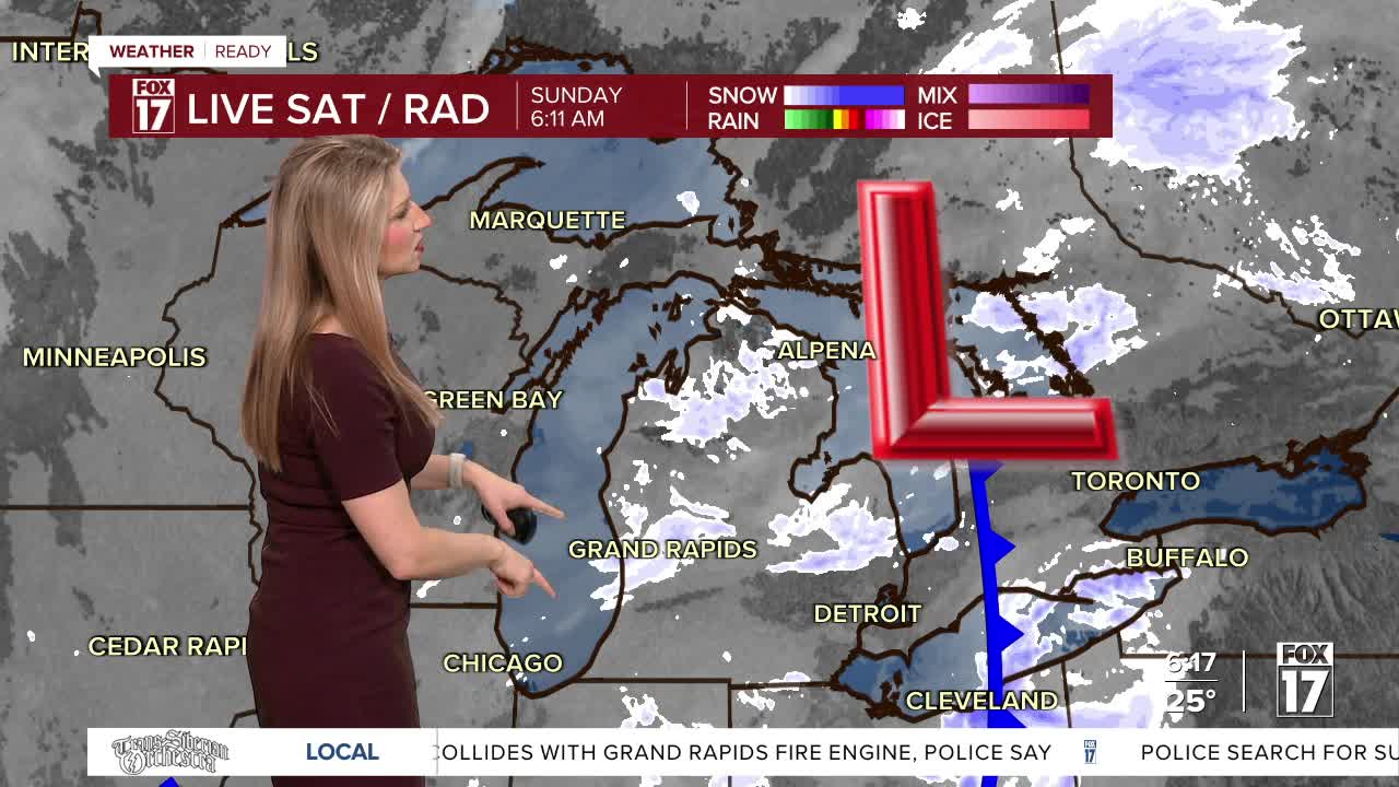


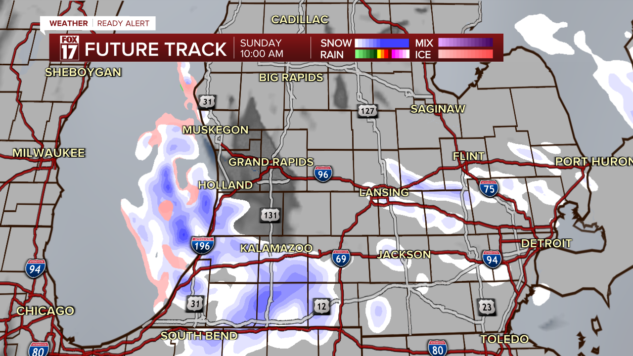
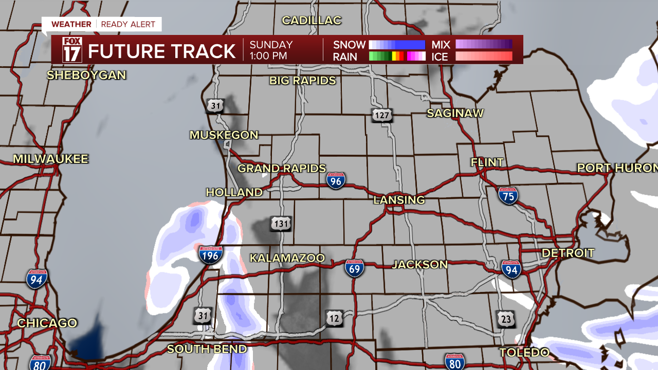
WEST MICHIGAN — The Fox 17 Weather Team has issued a Weather Ready Alert for Sunday, January 11 for additional lake effect snow, breezy winds and potential travel concerns. Additional snow totals will be around 1-3" in the heaviest bands, but some will not end up getting any additional snow.
However, due to the warm pavement temperatures yesterday during the core of the snow, much of it melted on contact and has frozen as temperatures fell into the 20s Sunday morning. There are icy spots on rural and neighborhood roads, and any additional snow on top of the ice could be dangerous. Be careful driving this morning!
The WINTER WEATHER ADVISORY continues through 1 p.m. for Muskegon, Oceana, and Newaygo Counties. Slick spots on the roads are likely.
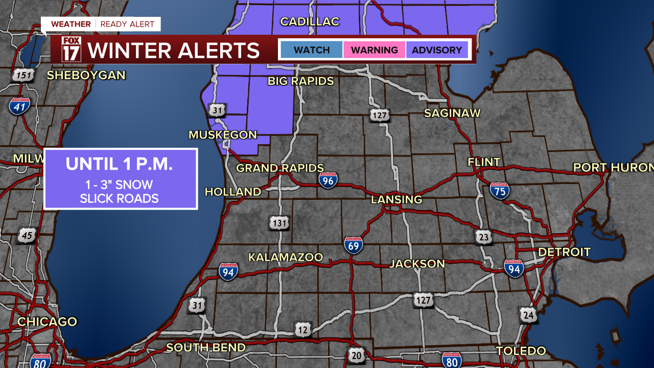
While the rest of West Michigan is not included in the Winter Weather Advisory, lake effect snow could cause additional impacts in Allegan, Van Buren, and Kalamazoo Counties where accumulations could also reach another 1-2".
Snow will taper down by noon Sunday, or earlier, with the rest of the day mainly dry and quiet.
Snow totals (prior to this event) for the season are 30.4" for Grand Rapids, 52.6" for Muskegon (average up to this point is 36.8"!), and 24.1" in Kalamazoo. There is no snowpack at the moment across West Michigan.
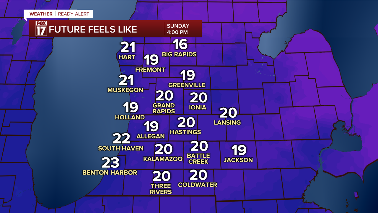
Even as the second half of the day is mainly dry and quiet, it will be colder and breezy. Expect highs around freezing, with wind gusts up to 25 mph at times. That will pull feels-like temperatures down into the upper teens and low 20s for all of West Michigan.
For the latest details on the weather in West Michigan, head to the FOX 17 Weather page.
Follow FOX 17: Facebook - X (formerly Twitter) - Instagram - YouTube
