


WEST MICHIGAN — The very cold and occasionally snowy pattern continues this week in West Michigan!
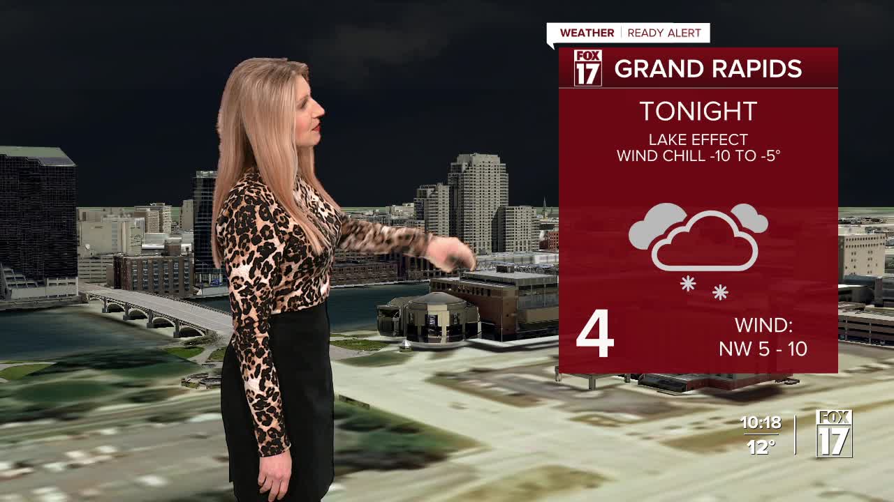
The WEATHER READY ALERT continues into tomorrow, January 29. Scattered light snow showers are likely to continue in areas west and southwest of Grand Rapids. Lake effect snow and breezy winds contribute to blowing snow and low visibility, and are keeping roads slick and icy. Wind chills tonight and tomorrow will stay near or slightly below zero.
A WINTER WEATHER ADVISORY has been extended through 10AM Thursday for more snow showers and hazardous travel conditions.

Bundle up, limit time outside and make sure any outdoor pets have a warm place to stay through this very cold pattern.
Most outside of the immediate lakeshore stay dry overnight, but pockets of snow will contribute to slick roads and briefly lowered visibility.

Early Thursday morning snow will be primarily along and west of 131. This is as wind relaxes some and is only around 5-10 mph.

During the afternoon Thursday, snow showers will creep back into more interior areas of West Michigan as the wind increases again. Blowing snow, low visibility and slick roads expected.

Snow totals outside the immediate lakeshore will not be very high, less than 1" for most. Higher totals are expected in the Winter Weather Advisory area and near the lakeshore from more consistent bands of snow. Travel will be difficult everywhere from any accumulating snow, along with slick and icy roads and changing visibility. Drive carefully!

Wind chills overnight and Thursday morning will not be quite as cold for most, as the wind is only around 5-10 mph. But most will likely stay feeling below zero with some spots wind chills below -10.

Friday will be VERY cold as another wave of Arctic air pushes into the Great Lakes. Widespread wind chills will be -10 to -20 at times, but it will be a dry day with some sunshine for most. That starts a pattern change of warmer and dryer weather into the weekend, although it doesn't look like we will hit freezing or above any time soon.
For the latest details on the weather in West Michigan, head to the FOX 17 Weather page.
Follow FOX 17: Facebook - X (formerly Twitter) - Instagram - YouTube
