


It's summertime in West Michigan which means heat, humidity, and more storms! A cold front approaching the area today will trigger scattered thunderstorms in the late morning and afternoon as it moves in to the hot and humid air.
While thunderstorms will be likely all across West Michigan, there is a low but non-zero risk for a few isolated severe storms especially around the I-94 corridor and south.
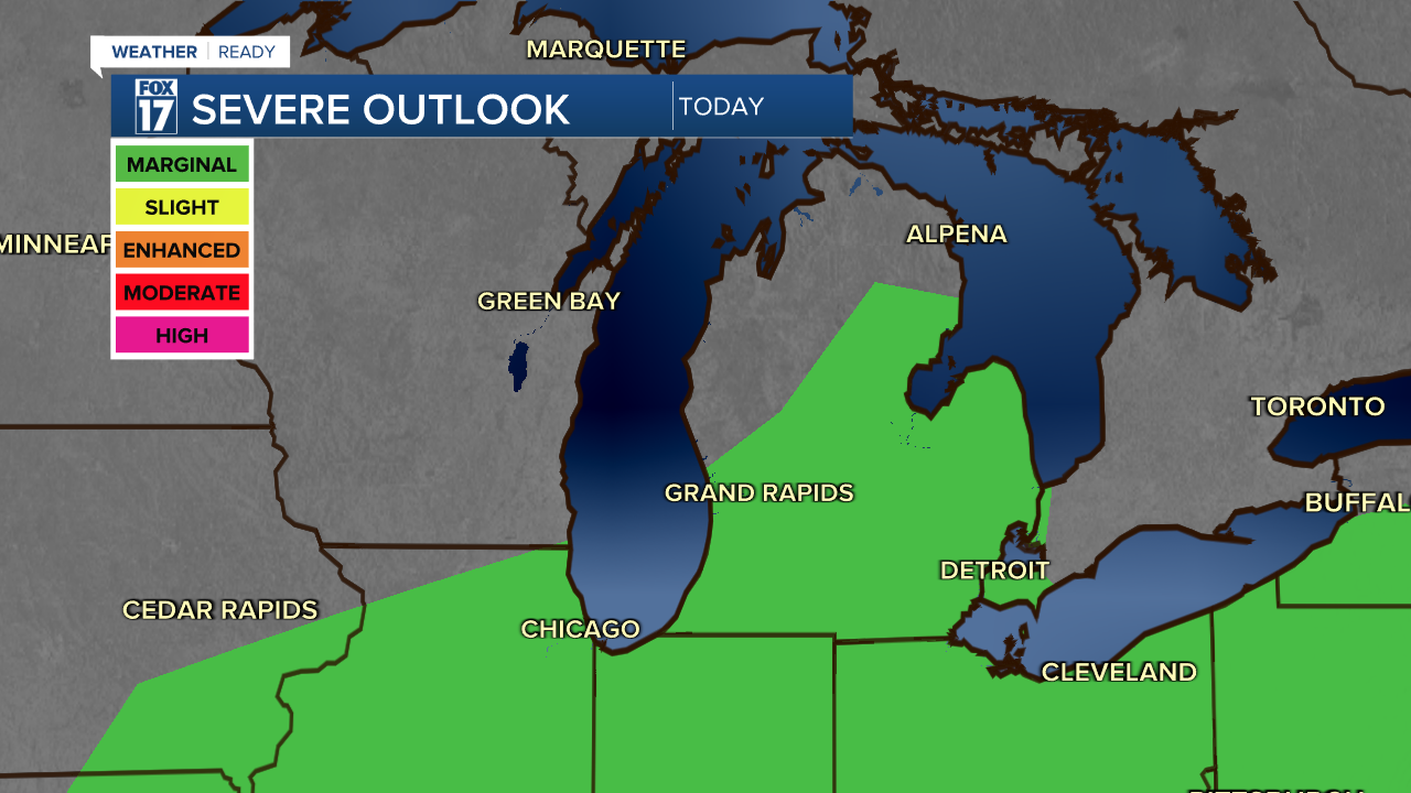
The primary severe weather hazard will be damaging wind gusts but all storms, severe or not, will contain lightning and heavy rainfall. Make sure you can quickly seek shelter if you're out on the lakeshore or in the water when these storms are expected to arrive.

Lightning can strike up to 10 miles away from the storm itself. If you can hear the thunder, you are in the danger zone!
TIMING
A weakening line of thunderstorms will approach the lakeshore early Monday morning. These will not be severe upon arrival but hang together enough for some light rain during the morning commute.
Otherwise, rain and thunderstorms could pop as early as the late morning to around noon.

These storms could be strong at times, with an isolated storm crossing the severe threshold. Storms move quickly east into the early afternoon and we could get a break from storms for a few hours.

The front looks to stall in Lake Michigan through the evening, which could give another round of storms the opportunity pop up in the overnight hours as the front gets a push from the jet stream..

These could also be occasionally strong, with damaging wind gusts as the main threat.
Rain totals will vary significantly based on where storms form. Some will get no rain, and others could get a quick half inch or more from downpours.
For the latest details on the weather in West Michigan, head to the FOX 17 Weather page.
Follow FOX 17: Facebook - X (formerly Twitter) - Instagram - YouTube
