


WEST MICHIGAN — From Fox 17 Weather Ready Meteorologist Terri DeBoer: After a brief hint of Spring late last week, a return to a winter weather pattern is unfolding for the weekend. Widespread snow is developing along with colder temperatures. A clipper system brings widespread snow showers Saturday, transitioning to lake effect snow on Sunday. There is a WINTER WEATHER ADVISORY from 7 a.m. Saturday through 1 p.m. Sunday for Oceana, Muskegon, Newaygo, and Mecosta Counties. A widespread 1-4" is expected, with isolated higher totals especially north / west of Grand Rapids. Snow will rapidly taper off after noon Sunday, but roads could still be slick in spots. It's going to feel like January next week too, with high temperatures slipping back into the 30s and chances for a wintry mix system Tuesday into Wednesday.
TODAY: WINTER WEATHER ADVISORY (Until 1PM Sunday). Breezy and colder with widespread snow. Highs in the mid-30s. Winds: bec. W 10-20 mph
TONIGHT: WINTER WEATHER ADVISORY (Until 1PM Sunday) Snow showers. Breezy. Lows in the 20s. Winds: W 10-20 mph
SUNDAY: WINTER WEATHER ADVISORY (Until 1PM Sunday) Colder with snow showers ending midday. Highs in the low 30s.
MONDAY: Partly to mostly cloudy. Highs in the mid-30s.
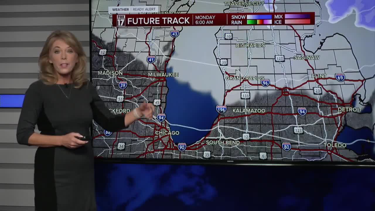
TUESDAY: Mostly cloudy with scattered rain/snow mix. Highs in the upper 30s.
WEDNESDAY: Chance snow showers. Highs near 30-degrees.
THURSDAY: Sharply colder. Highs in the mid-20s.
FRIDAY: Cold with highs in the upper 20s. Chance snow showers.
For the latest details on the weather in West Michigan, head to the FOX 17 Weather page.
Follow FOX 17: Facebook - X (formerly Twitter) - Instagram - YouTube
