
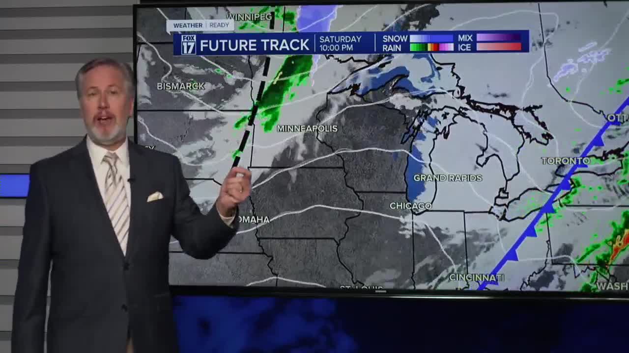


The forecast from FOX 17 Weather Ready Chief Meteorologist Kevin Craig: Rain and few thunderstorms are likely this morning, otherwise cloudy, windy, mild conditions are expected Saturday. Temperatures will fall through the day from the 60s to the 40s by evening. Sunday is dry and quiet, but still warm with highs in the 50s and a mostly sunny to partly cloudy sky. More rain with another system arrives Tuesday evening/night and carries in to what may be a very wet Wednesday. There are indications that we cool down closer to seasonable levels by the middle of the week, so don't get used to the Spring weather quiet yet!
SATURDAY: Morning rain and a few thunderstorms, otherwise cloudy and unseasonably warm and windy. Highs in the low 60s early, then gradually falling through the day. Winds southwest/west at 15 to 25 mph.
TONIGHT: Cloudy this evening, but becoming partly cloudy overnight. Lows in the mid 30s. Winds west-southwest at 5 to 10 mph.
SUNDAY: Mostly sunny to partly cloudy. Breezy. Highs in the mid 50s. Winds southwest at 10 to 20 mph.
MONDAY: Mostly sunny and unseasonably warm. Highs in the mid 60s.
TUESDAY: Mostly cloudy and mild with a chance for rain showers, especially in the evening at at night. Highs in the mid/upper 50s.
WEDNESDAY: Cloudy and wet with rain likely. Cooler too. Highs in the mid 40s.
THURSDAY: Partly cloudy. Highs in the upper 30s.
FRIDAY: Chance of rain and snow showers. Highs in the 40s.
For the latest details on the weather in West Michigan, head to the FOX 17 Weather page.
Follow FOX 17: Facebook - X (formerly Twitter) - Instagram - YouTube
