
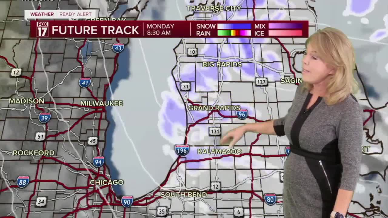


WEST MICHIGAN — From Fox 17 Weather Ready Meteorologist Terri DeBoer: Several more rounds of snow will be moving through West Michigan over the next several days. Kent, Ottawa, Allegan and Van Buren Counties have been added to the WINTER WEATHER ADVISORY that is in effect until 7AM Sunday for Muskegon, Newaygo, Oceana, Mason and Lake Counties, as the heaviest snow today will be in areas NW of Grand Rapids. At times the snow will intensify inland, especially Saturday evening and Sunday afternoon through Monday. A WINTER STORM WATCH will be in effect for the lakeshore counties from Sunday afternoon through Monday evening for an additional 4-8" of snow and widespread blowing and drifting. Great news for winter weather enthusiasts! Temperatures will drop into the teens in the afternoons early next week, with mornings in the single digits as even colder Arctic air drains in. Wind chills will drop well below zero later Monday into Tuesday.
TONIGHT: WINTER WEATHER ADVISORY (Until 7AM Sunday) Widespread snow showers. Lows near 20.
SUNDAY: WINTER STORM WATCH (Sunday afternoon through Monday evening) Scattered snow showers early. Snow intensifies afternoon into the evening. Highs in the low-20s. Winds: SW 10-20 mph
MONDAY: Even colder with snow showers. Highs in the teens, wind chills below 0.
TUESDAY: Cold with snow showers. Highs in the teens.
WEDNESDAY: Mostly cloudy with snow showers. Highs in the teens.
THURSDAY: Chance snow. Highs in the low 20s.
FRIDAY: Chance snow. Highs in the mid 20s.
For the latest details on the weather in West Michigan, head to the FOX 17 Weather page.
Follow FOX 17: Facebook - X (formerly Twitter) - Instagram - YouTube
