
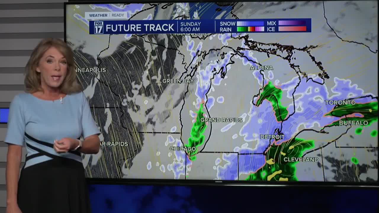


WEST MICHIGAN — The forecast from FOX 17 Weather Ready Meteorologist Terri DeBoer: Watch for slippery travel conditions tonight into Sunday as a wintry mixture of rain and snow is moving into West Michigan. This area of mixed precipitation will make the transition to snow by early Sunday morning before coming to an end. The widespread rain-snow will wind down early Sunday, with colder air bringing the first round of Lake Effect Snow Showers for Sunday and Monday. Areas along and West of US-131 will have the best chance for accumulation, with portions of Western Allegan, Van Buren, Berrien and Cass counties likely receiving at least 1-3 inches of snow. A WINTER STORM WATCH will be in effect for Berrien County around the foot of Lake Michigan from Sunday afternoon through Monday evening, for the potential for several inches of Lake Effect Snow. The "average" first snow in Grand Rapids is November 8, so this would be right on schedule. Accumulations may be slushy, but are possible! What we actually measure may be different than what falls! Stay with the FOX 17 Weather Ready Team for your latest forecast updates.
TONIGHT: Rain-snow mix. Watch for slippery spots. Lows near 30. Winds: E-NE 5-15 mph
SUNDAY: Early morning rain-snow mix will end. Lake Effect Snow Showers develop in areas West of US-131. Highs only in the mid 30s. Accumulations possible WINTER STORM WATCH (BERRIEN COUNTY - Starting Sunday afternoon)
MONDAY: Much colder with lake effect snow showers, mainly along/west of U.S. 131. Highs only in the mid 30s.
TUESDAY: Mostly cloudy and chilly. Chance lt. wintry mix. Highs near 40-degrees.
WEDNESDAY: Partly sunny. Breezy and not as cold. Highs: mid-40s.
THURSDAY: Partly sunny. Breezy. Highs: mid-40s.
FRIDAY: Partly cloudy. Breezy. Highs: mid-40s.
SATURDAY: Partly cloudy. Highs in the low 50s.
For the latest details on the weather in West Michigan, head to the FOX 17 Weather page.
Follow FOX 17: Facebook - X (formerly Twitter) - Instagram - YouTube
