
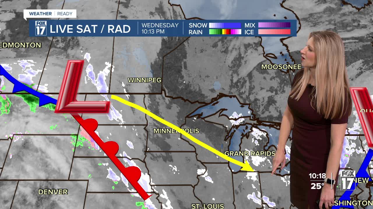


From Fox 17 Weather Ready Meteorologist Kara James: The pattern remains unseasonably cold and active for the rest of the week. Most stay dry overnight save for a few light flurries, but all of West Michigan will be cold. Temperatures plunge into the teens overnight, meaning any slush or standing water on the roads from earlier will re-freeze. Main roads will be fine, but side roads, neighborhood roads, and dirt roads will have slick spots. More on and off snow chances, and another Arctic blast are targeting West Michigan into the weekend. But there are a few hints of a warmer pattern by mid-week next week-at least getting above freezing!

TONIGHT: Light snow showers, otherwise partly to mostly cloudy with temps back in the upper teens. Slick roads expected.
THURSDAY: Mostly cloudy with lake effect snow showers possible. Highs in the upper 20s.
FRIDAY: Mostly cloudy and cold. Snow showers late. Highs in the middle 20s.
SATURDAY: Cloudy and cold with highs in the teens. Chance snow showers, especially in the morning.
SUNDAY: Cloudy and cold with snow showers possible. Highs in the low 20s.
MONDAY: Cold and mainly dry. Highs in the low 20s.
TUESDAY: Cloudy and cold with highs in the upper 20s.
WEDNESDAY: Chance rain showers. Highs in the mid 30s.
For the latest details on the weather in West Michigan, head to the FOX 17 Weather page.
Follow FOX 17: Facebook - X (formerly Twitter) - Instagram - YouTube
