


WEST MICHIGAN — From Fox 17 Weather Ready Meteorologist Terri DeBoer: A WINTER STORM WARNING and WINTER WEATHER ADVISORY will be in effect though 7AM Tuesday for most of West Michigan, as an arctic cold front is generating heavy lake effect snow showers and near-blizzard conditions. Temperatures will drop into the teens in the afternoons early next week, with mornings in the single digits as even colder Arctic air drains in. Wind chills will drop well below zero later Monday into Tuesday.
TONIGHT: WINTER STORM WARNING (Mainly US-131 to the West) WINTER WEATHER ADVISORY (Mainly East of US-131) (through 7AM Tuesday) Heavy snow and gusty winds. Blizzard-like conditions.
MONDAY: WINTER STORM WARNING (Mainly US-131 to the West) WINTER WEATHER ADVISORY (Mainly East of US-131) (through 7AM Tuesday) Even colder with snow showers. near blizzard conditions Highs in the teens, wind chills below 0.
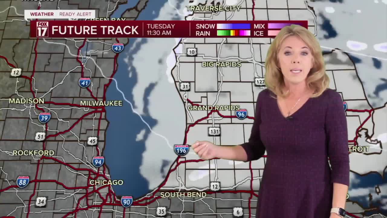
TUESDAY: WINTER STORM WARNING (Mainly US-131 to the West) WINTER WEATHER ADVISORY (Mainly East of US-131) (ending at 7AM Tuesday) Cold with snow showers. Highs in the teens.
WEDNESDAY: Mostly cloudy with snow showers. Highs in the twenties.
THURSDAY: Chance snow. Highs in the upper teens.
FRIDAY: Chance snow. Highs in the mid 20s.
SATURDAY: Another round of Arctic air: Windy and colder with snow showers. Highs in the teens
SUNDAY: Another round of Arctic air: Windy and colder with snow showers. Highs in the teens
For the latest details on the weather in West Michigan, head to the FOX 17 Weather page.
Follow FOX 17: Facebook - X (formerly Twitter) - Instagram - YouTube
